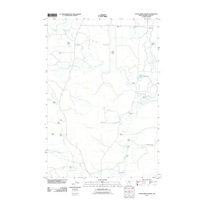
2011 Map of Otter Creek School
USGS Topo · Published 2011About this map
Family ranches and small-scale water management define this Sweet Grass County landscape, where the drainage systems of Tenmile Creek and Otter Creek support high-plains agriculture. The map detail highlights a network of established homesteads, including the Mattice Homestead and the J McCormick Ranch in the north, showing how settlement patterns followed the creek beds and draws. Local water infrastructure is evident through features like the Papez Number 1 Dam, Papez Number 2 Dam, and Lavold Reservoir, which were essential for ranching operations in this semi-arid region. These named landmarks, alongside several gulches like Long Gulch and Lien Gulch, provide a clear picture of the land-use history and ranching legacy in Montana during the early 21st century.
Find a feature on this map
38 named features on this map. Tap any name to fly to it.
Don’t see what you’re looking for? This feature index may not catch every label — zoom into the map to look around manually.
Map Details
Editions of this 2011 Otter Creek School Map
This is the sole edition of this map. No revisions or reprints were ever made.
Other maps of this area

1886 · Little Belt Mts.
USGS Topo · 1:250,000

1889 · Big Snowy Mountain
USGS Topo · 1:250,000

1891 · Livingston
USGS Topo · 1:250,000

1891 · Big Timber
USGS Topo · 1:125,000

1893 · Livingston
USGS Topo · 1:250,000

1893 · Big Snowy Mountain
USGS Topo · 1:250,000

1893 · Big Timber
USGS Topo · 1:125,000

1894 · Little Belt Mts.
USGS Topo · 1:250,000

1897 · Little Belt Mts.
USGS Topo · 1:250,000

1898 · Little Belt Mts.
USGS Topo · 1:250,000