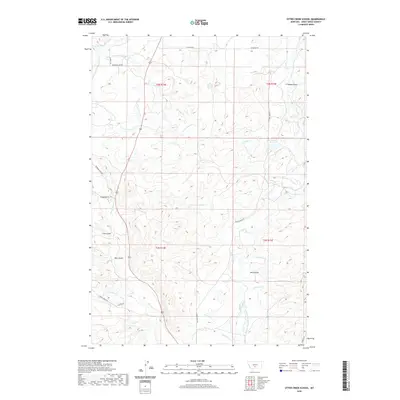
2020 Map of Otter Creek School
USGS Topo · Published 2020About this map
Big Timber Cr Canal and an extensive network of irrigation ditches define the rural landscape of Sweet Grass County in this recent topographic study. The area is characterized by the convergence of several drainages, including the S Fork Tenmile Cr and N Fork Sevenmile Cr, which flow through the high plains toward Otter Cr. Human impact on the land is most evident in the water management systems such as the Auwater Ditch, Tenmile Ditch, and the multi-named Meyers-Rapstad-Rudd Ditch. These features, alongside the Lavold Reservoir, highlight the importance of water rights and agricultural engineering in this region. Local terrain is marked by numerous draws and gulches, including Long Gulch, Bear Gulch, and Nash Gulch, while transport is facilitated by local routes like Wormser Loop Rd and Otter Creek Rd.
Find a feature on this map
31 named features on this map. Tap any name to fly to it.
Don’t see what you’re looking for? This feature index may not catch every label — zoom into the map to look around manually.
Map Details
Editions of this 2020 Otter Creek School Map
This is the sole edition of this map. No revisions or reprints were ever made.
Other maps of this area

1886 · Little Belt Mts.
USGS Topo · 1:250,000

1889 · Big Snowy Mountain
USGS Topo · 1:250,000

1891 · Livingston
USGS Topo · 1:250,000

1891 · Big Timber
USGS Topo · 1:125,000

1893 · Livingston
USGS Topo · 1:250,000

1893 · Big Snowy Mountain
USGS Topo · 1:250,000

1893 · Big Timber
USGS Topo · 1:125,000

1894 · Little Belt Mts.
USGS Topo · 1:250,000

1897 · Little Belt Mts.
USGS Topo · 1:250,000

1898 · Little Belt Mts.
USGS Topo · 1:250,000