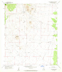
1958 Map of Outlaw Mountain
USGS Topo · Published 1963About this map
Gleeson sits at the northern edge of this arid landscape, showing the remnants of its mining history through numerous Shafts and Prospects scattered around Maud Hill. The settlement is linked to the surrounding cattle country by the High Lonesome Road, while an Old Railroad Grade traces a path through the valley, reflecting a shift from rail to road transport by the late 1950s. The terrain is defined by isolated peaks like Sugarloaf Hill and Outlaw Mountain, which rise sharply from the Sulphur Spring Valley. Life in this high-desert environment is anchored by a complex network of water features, from the Harmon Ranch to the many livestock watering points such as Mesquite Tank, Frog Lake, and Garland Windmill. A small Cem near the townsite serves as a quiet record of the early residents who worked these hills.
Find a feature on this map
31 named features on this map. Tap any name to fly to it.
Don’t see what you’re looking for? This feature index may not catch every label — zoom into the map to look around manually.
Map Details
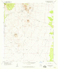
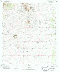
Editions of this 1958 Outlaw Mountain Map
3 editions found
Other maps of this area

1916 · Pearce
USGS Topo · 1:125,000

1922 · Swisshelm
USGS Topo · 1:62,500

1925 · Gleeson
USGS Topo · 1:62,500

1926 · Light
USGS Topo · 1:62,500

1926 · Courtland
USGS Topo · 1:62,500

1955 · Douglas
USGS Topo · 1:250,000
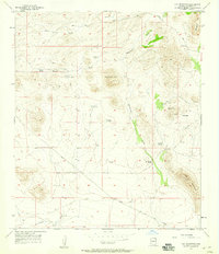
1957 · Hay Mountain
USGS Topo · 1:24,000

1958 · Squaretop Hills
USGS Topo · 1:62,500

1958 · Swisshelm Mtn
USGS Topo · 1:62,500

1958 · Pearce
USGS Topo · 1:62,500