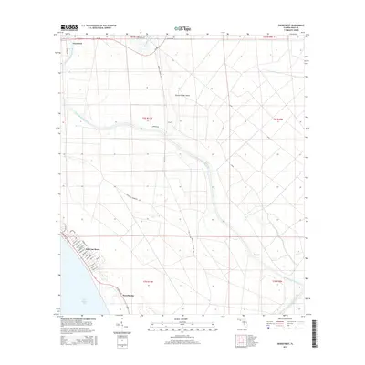
2015 Map of Overstreet
USGS Topo · Published 2015About this map
Saint Joseph Bay and the coastal developments of Saint Joe Beach anchor the southwestern corner of this landscape, where the street grid of Port St. Joe meets the Gulf waters. Moving inland, the Intracoastal Waterway carves a path through low-lying terrain, joining the Gulf County Canal and passing near the community of Overstreet at the northern edge. The interior is defined by a network of drainage and historic access routes, including Wetappo Creek and the Parkwood Tramroad Rd, which cut through the timberlands toward Round Timber Island. This era of the Gulf County coast reflects a mix of established residential blocks along W Highway 98 and the industrial-scale infrastructure required for water management and regional transit through the coastal wetlands.
Find a feature on this map
42 named features on this map. Tap any name to fly to it.
Don’t see what you’re looking for? This feature index may not catch every label — zoom into the map to look around manually.
Map Details
Editions of this 2015 Overstreet Map
This is the sole edition of this map. No revisions or reprints were ever made.
Other maps of this area
1943 · Port St. Joe
USGS Topo · 1:31,680
1943 · Overstreet
USGS Topo · 1:31,680
1944 · Beacon Hill
USGS Topo · 1:31,680
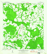
1944 · White City
USGS Topo · 1:24,000
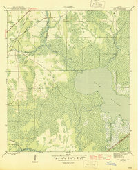
1945 · Lake Wimico
USGS Topo · 1:31,680
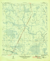
1945 · White City
USGS Topo · 1:31,680
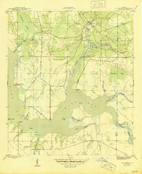
1945 · Allanton
USGS Topo · 1:31,680
1945 · Wewahitchka
USGS Topo · 1:31,680
1945 · Wetappo Creek
USGS Topo · 1:31,680
1945 · St Joseph Point
USGS Topo · 1:31,680