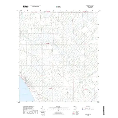
2018 Map of Overstreet
USGS Topo · Published 2018About this map
Overstreet and the northern reaches of Port St. Joe anchor this Gulf County landscape, where the Intracoastal Waterway carves a straight path through a complex network of wetlands and tidal creeks. The settlement of Overstreet sits near the sharp bend of Devils Elbow, illustrating the historical importance of water-based transit before the modernization of routes like the Parkwood Tramroad. Further south, the residential grid of Port St. Joe begins to take shape along Saint Joseph Bay, with streets named for explorers and states including Ponce De Leon St and Georgia Ave. Deep in the interior, large tracts of hydric terrain such as Panther Swamp and Cerser Swamp surround isolated high points like Round Timber Island. This geography highlights the balance between early 21st-century coastal development and the persistent, low-lying drainage systems of the Wetappo Creek basin.
Find a feature on this map
57 named features on this map. Tap any name to fly to it.
Don’t see what you’re looking for? This feature index may not catch every label — zoom into the map to look around manually.
Map Details
Editions of this 2018 Overstreet Map
This is the sole edition of this map. No revisions or reprints were ever made.
Other maps of this area
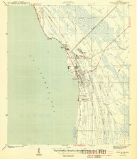
1943 · Port St. Joe
USGS Topo · 1:31,680
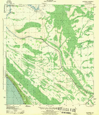
1943 · Overstreet
USGS Topo · 1:31,680
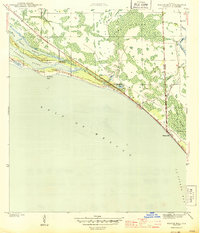
1944 · Beacon Hill
USGS Topo · 1:31,680
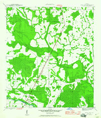
1944 · White City
USGS Topo · 1:24,000
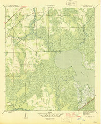
1945 · Lake Wimico
USGS Topo · 1:31,680
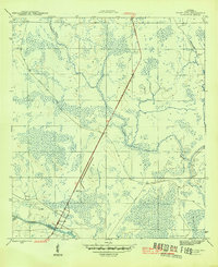
1945 · White City
USGS Topo · 1:31,680
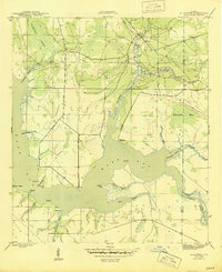
1945 · Allanton
USGS Topo · 1:31,680
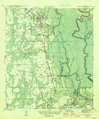
1945 · Wewahitchka
USGS Topo · 1:31,680
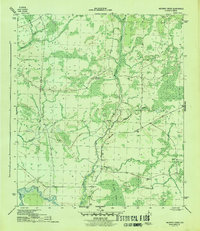
1945 · Wetappo Creek
USGS Topo · 1:31,680
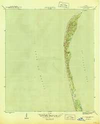
1945 · St Joseph Point
USGS Topo · 1:31,680