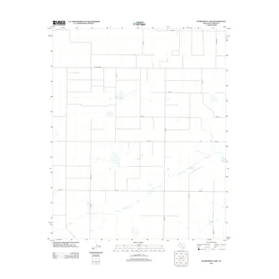
2012 Map of Overstreet Lake
USGS Topo · Published 2012About this map
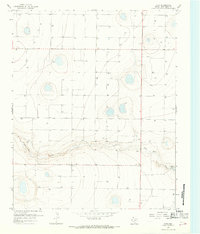
Palo Duro Cr meanders across the southern half of this landscape, carving a subtle drainage through the High Plains of Deaf Smith County. The terrain is defined by a rigorous grid of section lines and rural thoroughfares, including Fm1412 and Ranch Road 2587, which serve the agricultural interests of the region. Scattered throughout this geometric layout are several notable depressions and water bodies, most significantly Overstreet Lake and Schulte Lake, along with Grigsby Lake near the eastern margin. These features are characteristic of the playa lake systems found in the Texas Panhandle, providing vital seasonal hydrology in an otherwise semi-arid environment dominated by ranching and large-scale farming infrastructure.
Find a feature on this map
16 named features on this map. Tap any name to fly to it.
Don’t see what you’re looking for? This feature index may not catch every label — zoom into the map to look around manually.
Map Details
Editions of this 2012 Overstreet Lake Map
This is the sole edition of this map. No revisions or reprints were ever made.
Other maps of this area
1954 · Tucumcari
USGS Topo · 1:250,000

1954 · Clovis
USGS Topo · 1:250,000

1958 · Clovis
USGS Topo · 1:250,000
1958 · Tucumcari
USGS Topo · 1:250,000
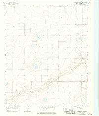
1966 · Overstreet Lake
USGS Topo · 1:24,000
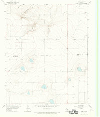
1966 · Simms NW
USGS Topo · 1:24,000
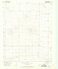
1966 · Simms
USGS Topo · 1:24,000
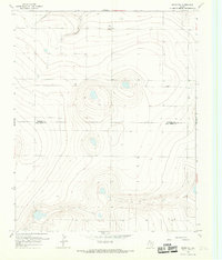
1966 · Simms NE
USGS Topo · 1:24,000
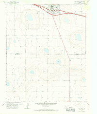
1966 · Vega South
USGS Topo · 1:24,000
1966 · Ford
USGS Topo · 1:24,000