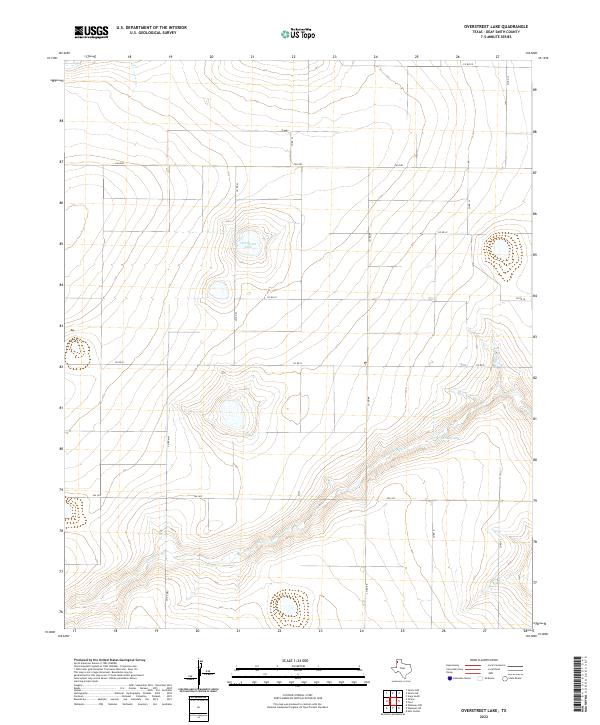
2022 Map of Overstreet Lake
USGS Topo · Published 2022About this map
Palo Duro Cr cuts a distinct valley across this High Plains landscape in Deaf Smith County, creating a sharp contrast to the surrounding flat agricultural tableland. The drainage system directs seasonal runoff toward Schulte Lake and the eponymous Overstreet Lake, which sits at the center of the quadrangle. These terminal basins are characteristic of the Texas Panhandle, where localized depressions collect water in an otherwise arid environment. The human imprint on the land is defined by a rigid grid of rural routes, including Fm 2587 and Fm 1412, which facilitate the region's ranching and farming operations. The network of section-line roads like Co Rd Mm and Co Rd Kk reflects the systematic land partitioning that has governed this part of Texas since the era of early settlement and large-scale cattle ranching.
Find a feature on this map
15 named features on this map. Tap any name to fly to it.
Don’t see what you’re looking for? This feature index may not catch every label — zoom into the map to look around manually.
Map Details
Editions of this 2022 Overstreet Lake Map
This is the sole edition of this map. No revisions or reprints were ever made.
Other maps of this area

1954 · Tucumcari
USGS Topo · 1:250,000

1954 · Clovis
USGS Topo · 1:250,000

1958 · Clovis
USGS Topo · 1:250,000

1958 · Tucumcari
USGS Topo · 1:250,000

1966 · Overstreet Lake
USGS Topo · 1:24,000

1966 · Simms NW
USGS Topo · 1:24,000

1966 · Simms
USGS Topo · 1:24,000

1966 · Simms NE
USGS Topo · 1:24,000

1966 · Vega South
USGS Topo · 1:24,000

1966 · Ford
USGS Topo · 1:24,000