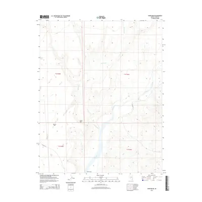
2014 Map of Overton NE
USGS Topo · Published 2014About this map
The Virgin River carves a critical path through this arid portion of the Mojave Desert, shaping the fertile bottomlands of the Virgin Valley. This 2014 survey reveals the stark transition from the high, flat expanse of the Mormon Mesa down to the complex drainage networks that feed the river system. One such drainage, Halfway Wash, meanders across the northern and central sections of the quadrangle before meeting the main river channel. Connectivity in this remote corner of Nevada is defined by established routes like Gold Butte Rd and Carp Elgin Rd, which provide access through the desert terrain and across the township and range boundaries that section the land for public use and management.
Find a feature on this map
11 named features on this map. Tap any name to fly to it.
Don’t see what you’re looking for? This feature index may not catch every label — zoom into the map to look around manually.
Map Details
Editions of this 2014 Overton NE Map
This is the sole edition of this map. No revisions or reprints were ever made.
Other maps of this area
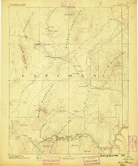
1886 · Saint Thomas
USGS Topo · 1:250,000
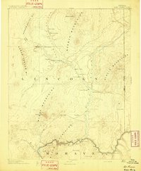
1893 · Saint Thomas
USGS Topo · 1:250,000
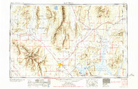
1954 · Las Vegas
USGS Topo · 1:250,000
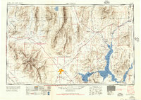
1957 · Las Vegas
USGS Topo · 1:250,000
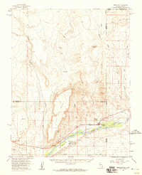
1957 · Mesquite
USGS Topo · 1:62,500
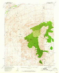
1958 · Virgin Peak
USGS Topo · 1:62,500
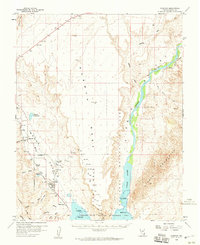
1958 · Overton
USGS Topo · 1:62,500
1959 · Las Vegas
USGS Topo · 1:250,000
1962 · Las Vegas
USGS Topo · 1:250,000
1969 · Moapa Peak
USGS Topo · 1:24,000