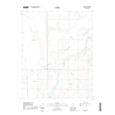
2018 Map of Overton NE
USGS Topo · Published 2018About this map
The Virgin River carves a distinctive path through the Virgin Valley in this corner of the Mojave Desert. The map documents a stark landscape defined by the contrast between the flat, elevated expanse of Mormon Mesa to the west and the intricate drainage network of Halfway Wash feeding into the river valley. Unlike earlier surveys focused solely on physical topography, this 2018 edition includes contemporary recreational infrastructure such as Bikepacking: The Plateau Passage, showing how historic travel corridors have evolved into modern adventure routes. Roadways like Carp Elgin Rd and New Gold Butte Rd provide the primary access through this arid terrain, tracing routes that skirt the edges of the township and range boundaries that have organized this desert since the nineteenth century.
Find a feature on this map
12 named features on this map. Tap any name to fly to it.
Don’t see what you’re looking for? This feature index may not catch every label — zoom into the map to look around manually.
Map Details
Editions of this 2018 Overton NE Map
This is the sole edition of this map. No revisions or reprints were ever made.
Other maps of this area
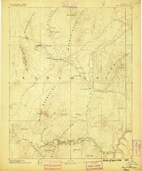
1886 · Saint Thomas
USGS Topo · 1:250,000
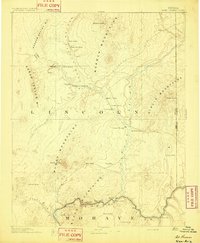
1893 · Saint Thomas
USGS Topo · 1:250,000
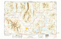
1954 · Las Vegas
USGS Topo · 1:250,000
1957 · Las Vegas
USGS Topo · 1:250,000
1957 · Mesquite
USGS Topo · 1:62,500
1958 · Virgin Peak
USGS Topo · 1:62,500
1958 · Overton
USGS Topo · 1:62,500
1959 · Las Vegas
USGS Topo · 1:250,000
1962 · Las Vegas
USGS Topo · 1:250,000
1969 · Moapa Peak
USGS Topo · 1:24,000