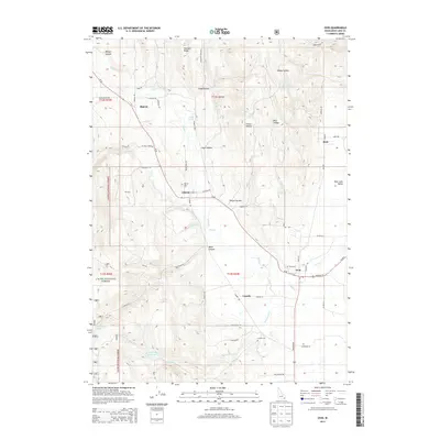
2013 Map of Ovid
USGS Topo · Published 2013About this map
Ovid and Liberty anchor this topographic survey of Bear Lake County, documenting the rural character of southeastern Idaho’s Bear Lake Valley. The landscape is defined by the agricultural settlements of Sharon, Bern, and Lanark, connected by a network of local roads including Bern Rd and Lanark Rd. To the west, the foothills of the Cache National Forest rise above the valley floor, carved by drainages like Emigration Cr and Mill Cr.
Find a feature on this map
61 named features on this map. Tap any name to fly to it.
Don’t see what you’re looking for? This feature index may not catch every label — zoom into the map to look around manually.
Map Details
Editions of this 2013 Ovid Map
This is the sole edition of this map. No revisions or reprints were ever made.
Other maps of this area
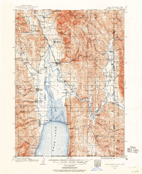
1909 · Montpelier
USGS Topo · 1:125,000
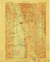
1911 · Montpelier
USGS Topo · 1:125,000
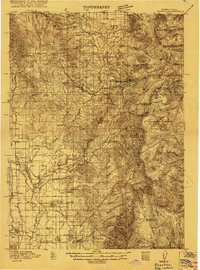
1915 · Preston
USGS Topo · 1:96,000
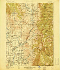
1918 · Preston
USGS Topo · 1:125,000

1955 · Preston
USGS Topo · 1:250,000

1958 · Preston
USGS Topo · 1:250,000

1962 · Preston
USGS Topo · 1:250,000
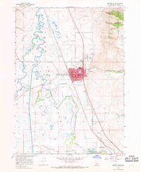
1967 · Montpelier
USGS Topo · 1:24,000
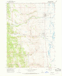
1967 · Paris
USGS Topo · 1:24,000
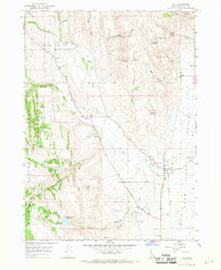
1967 · Ovid
USGS Topo · 1:24,000