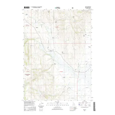
2017 Map of Ovid
USGS Topo · Published 2017About this map
Ovid, Idaho, and the surrounding high-altitude agricultural settlements of the Bear Lake Valley are documented in this contemporary survey. The landscape is defined by its transition from the valley floor to the timbered slopes of the Cache National Forest, with a network of irrigation and natural drainage including Ovid Creek, Mill Cr, and Emigration Cr. For genealogists and local historians, the map serves as a detailed ledger of the region’s small communities and their resting places, including Liberty Cem, Ovid Cem, and Lanark Cem. The layout of the roads, such as Bern-Nounan Rd and Old Mill Rd, reflects a history of movement between isolated ranching outposts like Sharon and Bern. Numerous springs, from Crystal Spring to Hoopes Spring, highlight the essential water sources that have sustained these rural Idaho townships for generations.
Find a feature on this map
63 named features on this map. Tap any name to fly to it.
Don’t see what you’re looking for? This feature index may not catch every label — zoom into the map to look around manually.
Map Details
Editions of this 2017 Ovid Map
This is the sole edition of this map. No revisions or reprints were ever made.
Other maps of this area
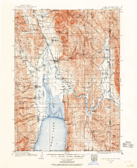
1909 · Montpelier
USGS Topo · 1:125,000
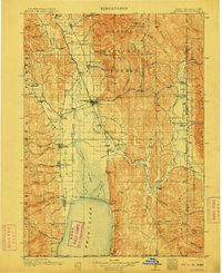
1911 · Montpelier
USGS Topo · 1:125,000
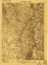
1915 · Preston
USGS Topo · 1:96,000
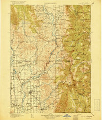
1918 · Preston
USGS Topo · 1:125,000

1955 · Preston
USGS Topo · 1:250,000

1958 · Preston
USGS Topo · 1:250,000

1962 · Preston
USGS Topo · 1:250,000
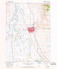
1967 · Montpelier
USGS Topo · 1:24,000
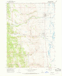
1967 · Paris
USGS Topo · 1:24,000
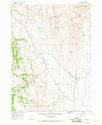
1967 · Ovid
USGS Topo · 1:24,000