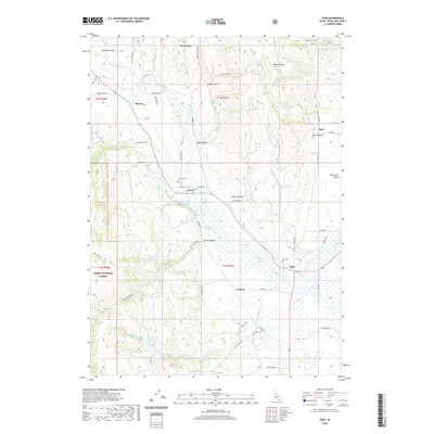
2020 Map of Ovid
USGS Topo · Published 2020About this map
Ovid and the surrounding Bear Lake County settlements sit at the western edge of the Bear Lake Valley in this detailed 2020 landscape. The geography is defined by the transition from the high ridges of the Cache National Forest into the marshy lowlands fed by Ovid Cr and Hammond Cr. Small agricultural communities like Bern, Lanark, Liberty, and Sharon are connected by a network of rural roads that follow the canyon floors and valley floor, such as Old Mill Rd and Shepherd Rd.
Find a feature on this map
64 named features on this map. Tap any name to fly to it.
Don’t see what you’re looking for? This feature index may not catch every label — zoom into the map to look around manually.
Map Details
Editions of this 2020 Ovid Map
This is the sole edition of this map. No revisions or reprints were ever made.
Other maps of this area

1909 · Montpelier
USGS Topo · 1:125,000

1911 · Montpelier
USGS Topo · 1:125,000

1915 · Preston
USGS Topo · 1:96,000

1918 · Preston
USGS Topo · 1:125,000

1955 · Preston
USGS Topo · 1:250,000

1958 · Preston
USGS Topo · 1:250,000

1962 · Preston
USGS Topo · 1:250,000

1967 · Montpelier
USGS Topo · 1:24,000

1967 · Paris
USGS Topo · 1:24,000

1967 · Ovid
USGS Topo · 1:24,000