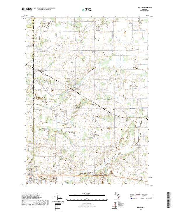
2023 Map of Ovid East
USGS Topo · Published 2023About this map
Ovid and the surrounding agricultural landscapes of Shiawassee and Clinton Counties are the focus of this recent survey. The terrain is defined by a dense grid of rural roads and a complex network of agricultural waterways, including Baker Creek, Lamb Creek, and the Gallagher Drain. The transition from old burial grounds like Old Fairfield Cem and Fairfield Cem to modern recreational corridors is evident in the presence of the Fred Meijer Clinton-Ionia-Shiawassee (cis) State Trl, which follows a former rail alignment through the south. Smaller rural junctions like Carland and Hoovers Corners persist as local landmarks, illustrating the enduring settlement patterns in this part of Michigan. The map's detail provides a clear view of how drainage systems like the West Branch Sawyer Drain and David Drain have been integrated into the section-line road system to manage the low-lying interior lands.
Find a feature on this map
59 named features on this map. Tap any name to fly to it.
Don’t see what you’re looking for? This feature index may not catch every label — zoom into the map to look around manually.
Map Details
Editions of this 2023 Ovid East Map
This is the sole edition of this map. No revisions or reprints were ever made.
Historical Maps of Fairfield Township Through Time
10 maps found
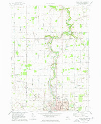
1972 Corunna SE
Shiawassee County, MI
1972 Owosso South
Shiawassee County, MI
1974 Ovid East
Shiawassee County, MI
1974 Owosso North
Shiawassee County, MI
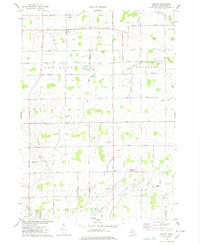
1975 Easton
Shiawassee County, MI
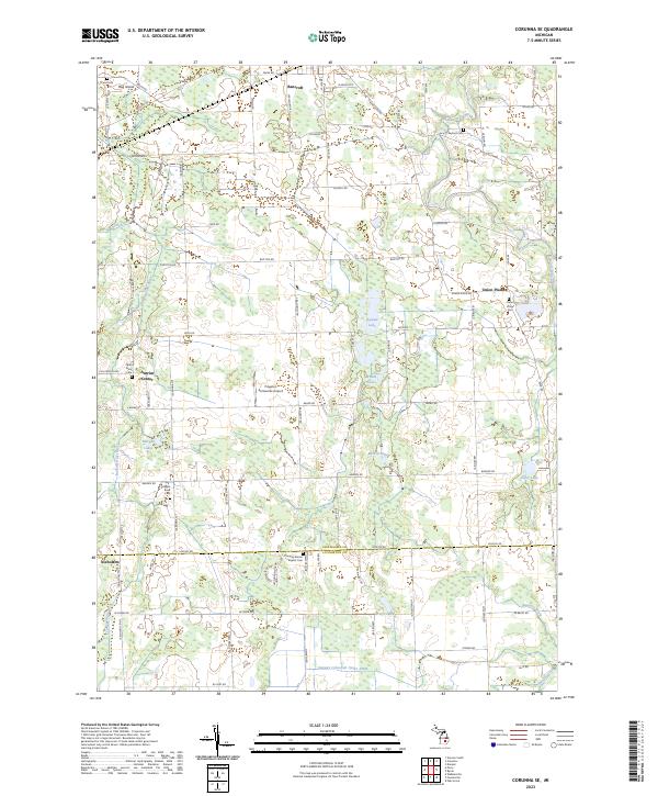
2023 Corunna SE
Shiawassee County, MI
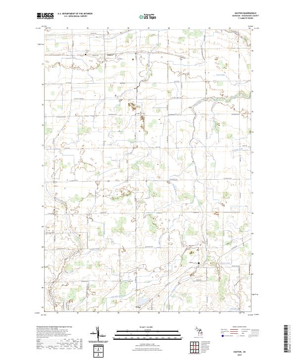
2023 Easton
Shiawassee County, MI
2023 Ovid East
Shiawassee County, MI
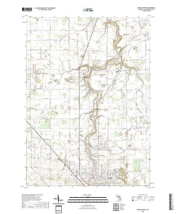
2023 Owosso North
Shiawassee County, MI
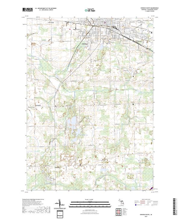
2023 Owosso South
Shiawassee County, MI
Featured Locations
- Elba Township, MI
- Owosso Charter Township, MI
- Fairfield Township, MI
- Middlebury Township, MI
- Ovid, Ovid Township