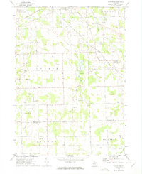
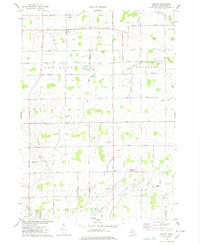
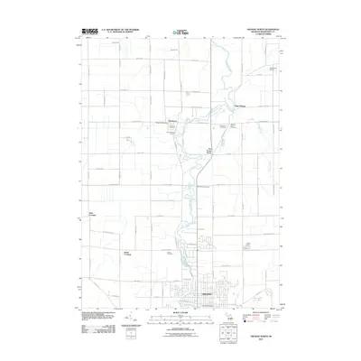
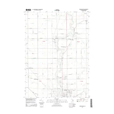
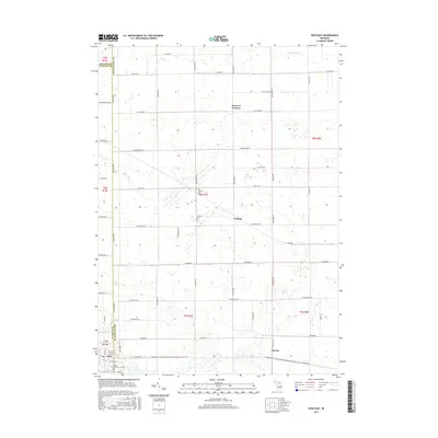
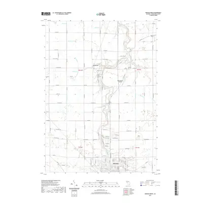
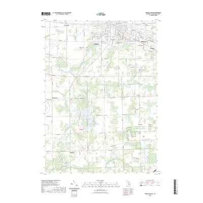
1972 Map of Corunna SE
USGS Topo · Published 1975About this map
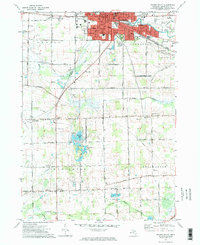
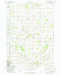
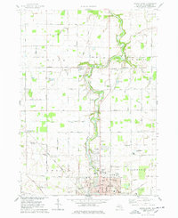
Bancroft sits at the northern edge of this agricultural landscape, where the Shiawassee River and the Shiawassee Western railroad corridor intersect. The terrain is defined by a dense network of glacial lakes and wetlands, including Aginaw Lake, Rose Lake, and the family-named Euler Lake. This 1970s survey documents the rural character of southeastern Shiawassee County before significant modern development, preserving the locations of community landmarks like Antrim Center and the Antrim Ch.
Find a feature on this map
68 named features on this map. Tap any name to fly to it.
Don’t see what you’re looking for? This feature index may not catch every label — zoom into the map to look around manually.
Map Details
Editions of this 1972 Corunna SE Map
This is the sole edition of this map. No revisions or reprints were ever made.
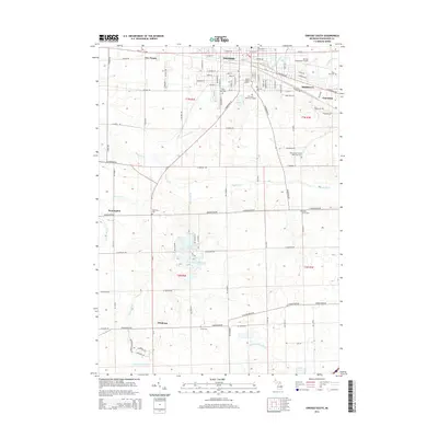
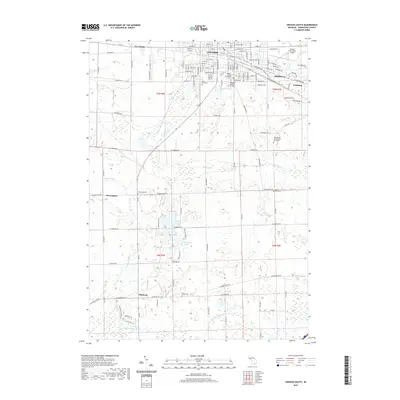
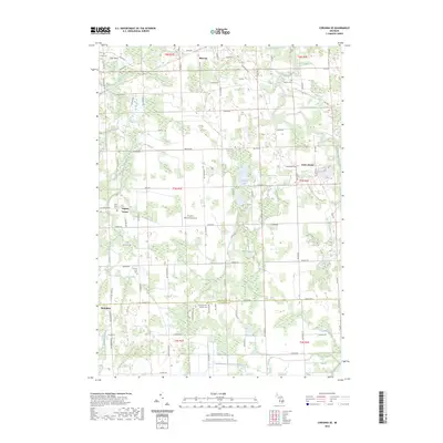
Historical Maps of Conway Township Through Time
30 maps found
1972 Corunna SE
Shiawassee County, MI
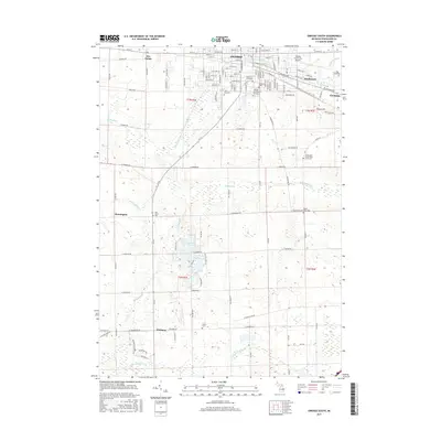
1972 Owosso South
Shiawassee County, MI
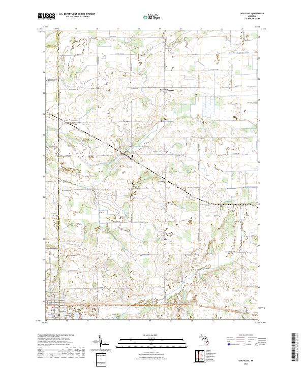
1974 Ovid East
Shiawassee County, MI
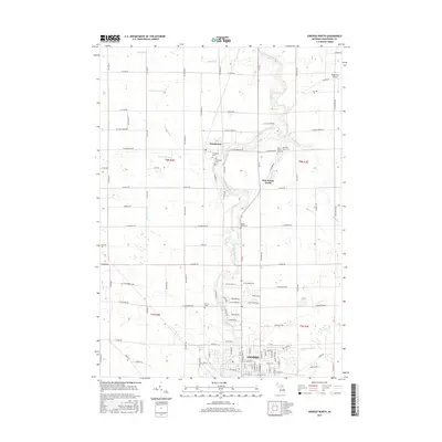
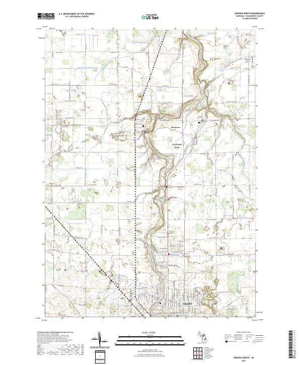
1974 Owosso North
Shiawassee County, MI
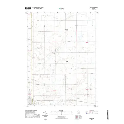
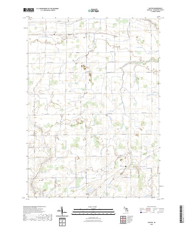
1975 Easton
Shiawassee County, MI
2011 Corunna SE
Shiawassee County, MI
2011 Easton
Shiawassee County, MI
2011 Ovid East
Shiawassee County, MI
2011 Owosso North
Shiawassee County, MI

2011 Owosso South
Shiawassee County, MI
2014 Corunna SE
Shiawassee County, MI
2014 Easton
Shiawassee County, MI
2014 Ovid East
Shiawassee County, MI
2014 Owosso North
Shiawassee County, MI
2014 Owosso South
Shiawassee County, MI
2017 Corunna SE
Shiawassee County, MI
2017 Easton
Shiawassee County, MI
2017 Ovid East
Shiawassee County, MI
2017 Owosso North
Shiawassee County, MI
2017 Owosso South
Shiawassee County, MI

2019 Corunna SE
Shiawassee County, MI

2019 Easton
Shiawassee County, MI
2019 Ovid East
Shiawassee County, MI
2019 Owosso North
Shiawassee County, MI
2019 Owosso South
Shiawassee County, MI
2023 Corunna SE
Shiawassee County, MI
2023 Easton
Shiawassee County, MI
2023 Ovid East
Shiawassee County, MI
2023 Owosso North
Shiawassee County, MI
2023 Owosso South
Shiawassee County, MI
Featured Locations
- Cohoctah Township, MI
- Conway Township, MI
- Bancroft, Shiawassee Township
- Antrim Center, Antrim Township
- Union Plains, Burns Township