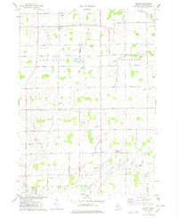
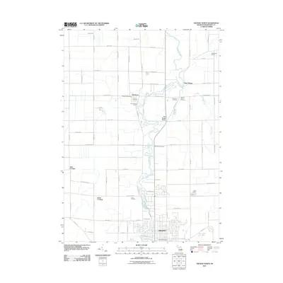
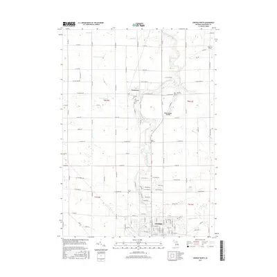
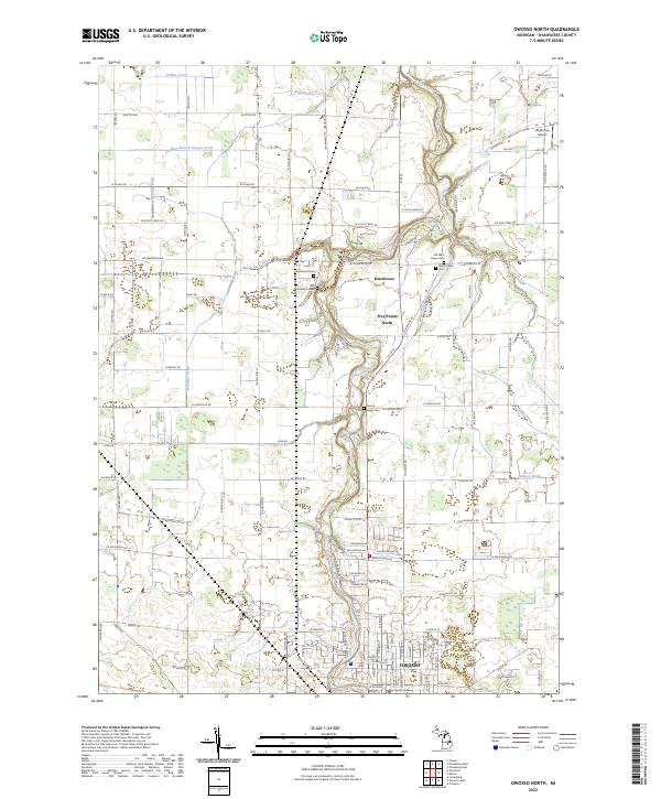
1974 Map of Owosso North
USGS Topo · Published 1978About this map
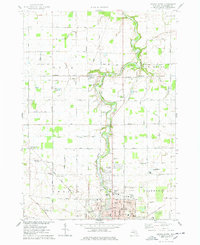
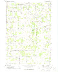
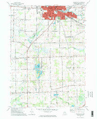
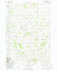
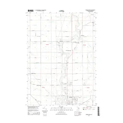
The Shiawassee River meanders northward through this 1974 survey, anchoring a landscape defined by small Michigan settlements and a dense network of early section roads. In the south, the city of Owosso expands toward the Owosso Country Club, while the agricultural townships of Rush, New Haven, and Caledonia are dotted with family-named landmarks and essential rural institutions. Genealogists will find significant detail in the multiple burial grounds, including Old West Haven Cem and Old Henderson Cem.
Find a feature on this map
56 named features on this map. Tap any name to fly to it.
Don’t see what you’re looking for? This feature index may not catch every label — zoom into the map to look around manually.
Map Details
Editions of this 1974 Owosso North Map
This is the sole edition of this map. No revisions or reprints were ever made.
Historical Maps of Owosso Through Time
30 maps found
1972 Corunna SE
Shiawassee County, MI
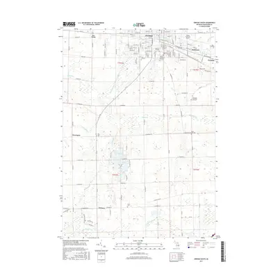
1972 Owosso South
Shiawassee County, MI
1974 Ovid East
Shiawassee County, MI
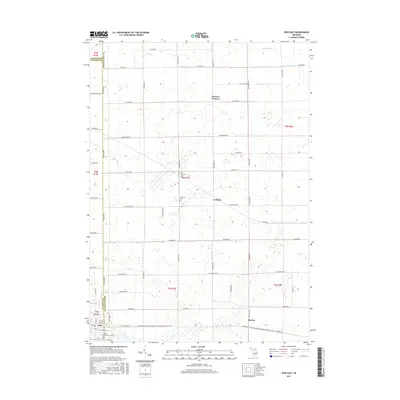
1974 Owosso North
Shiawassee County, MI
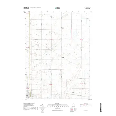
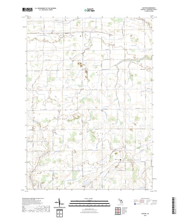
1975 Easton
Shiawassee County, MI
2011 Corunna SE
Shiawassee County, MI
2011 Easton
Shiawassee County, MI
2011 Ovid East
Shiawassee County, MI
2011 Owosso North
Shiawassee County, MI

2011 Owosso South
Shiawassee County, MI
2014 Corunna SE
Shiawassee County, MI
2014 Easton
Shiawassee County, MI
2014 Ovid East
Shiawassee County, MI
2014 Owosso North
Shiawassee County, MI
2014 Owosso South
Shiawassee County, MI
2017 Corunna SE
Shiawassee County, MI
2017 Easton
Shiawassee County, MI
2017 Ovid East
Shiawassee County, MI
2017 Owosso North
Shiawassee County, MI
2017 Owosso South
Shiawassee County, MI

2019 Corunna SE
Shiawassee County, MI

2019 Easton
Shiawassee County, MI
2019 Ovid East
Shiawassee County, MI
2019 Owosso North
Shiawassee County, MI
2019 Owosso South
Shiawassee County, MI
2023 Corunna SE
Shiawassee County, MI
2023 Easton
Shiawassee County, MI
2023 Ovid East
Shiawassee County, MI
2023 Owosso North
Shiawassee County, MI
2023 Owosso South
Shiawassee County, MI
Featured Locations
- New Haven Township, MI
- Owosso, MI
- Caledonia Charter Township, MI
- New Haven, New Haven Township
- Wolf Crossing, Rush Township