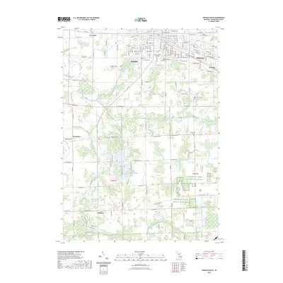
2023 Map of Owosso South
USGS Topo · Published 2023About this map
The Shiawassee River winds through the northern edge of this quadrangle, anchoring the neighboring communities of Owosso, Middletown, and Corunna. This area is characterized by a dense concentration of local history markers, including several significant burial grounds such as Oak Hill Cem, Saint Paul Cem, and the Shiawassee County Poor Farm Cem. Further south, the landscape shifts toward a rural agricultural pattern defined by numerous drainage systems like the Maple River and Looking Glass River, which supported the early development of outlying settlements like Pittsburg and Bennington. The presence of the Owosso Community Airport and Baker College of Owosso illustrates the area's modern educational and transportation infrastructure. Researchers can trace the legacy of county-level social history through the many family and public cemeteries that dot the township lines of T7N and T6N.
Find a feature on this map
126 named features on this map. Tap any name to fly to it.
Don’t see what you’re looking for? This feature index may not catch every label — zoom into the map to look around manually.
Map Details
Editions of this 2023 Owosso South Map
This is the sole edition of this map. No revisions or reprints were ever made.
Other maps of this area

1917 · Chesaning
USGS Topo · 1:62,500

1918 · Elsie
USGS Topo · 1:62,500

1926 · Corunna
USGS Topo · 1:62,500

1928 · Laingsburg
USGS Topo · 1:62,500

1929 · Corunna
USGS Topo · 1:62,500

1943 · Chesaning
USGS Topo · 1:62,500

1943 · Elsie
USGS Topo · 1:62,500

1944 · Laingsburg
USGS Topo · 1:62,500

1944 · Corunna
USGS Topo · 1:62,500

1954 · Midland
USGS Topo · 1:250,000