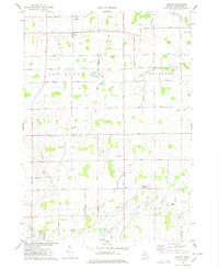
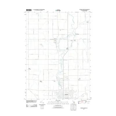
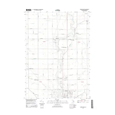
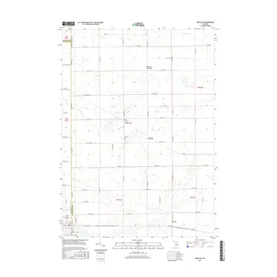
1974 Map of Ovid East
USGS Topo · Published 1978About this map
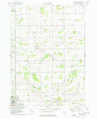
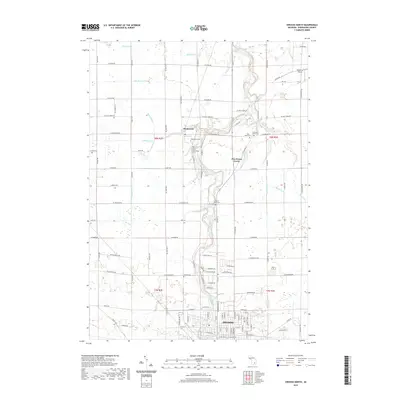
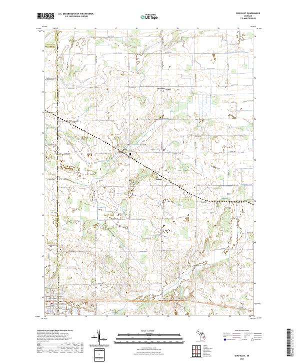
The agricultural landscapes of the Fairfield and Middlebury townships are defined by a strictly organized grid of rural roads and drainage infrastructure in the mid-1970s. This survey centers on the Grand Trunk Western railroad corridor, which links small clusters like Carland and Burton to the larger village of Ovid in the southwest corner. The prevalence of features such as David Drain and Wait Drain reflects the engineering efforts required to manage the flat terrain for productive farming.
Find a feature on this map
36 named features on this map. Tap any name to fly to it.
Don’t see what you’re looking for? This feature index may not catch every label — zoom into the map to look around manually.
Map Details
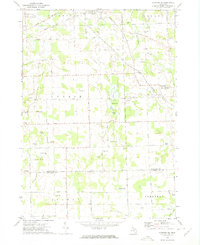
Editions of this 1974 Ovid East Map
This is the sole edition of this map. No revisions or reprints were ever made.
Historical Maps of Ovid Through Time
30 maps found
1972 Corunna SE
Shiawassee County, MI
1972 Owosso South
Shiawassee County, MI
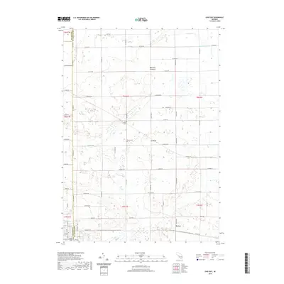
1974 Ovid East
Shiawassee County, MI
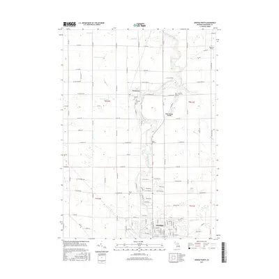
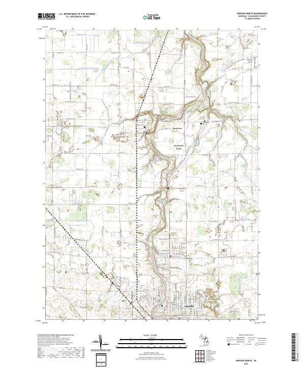
1974 Owosso North
Shiawassee County, MI
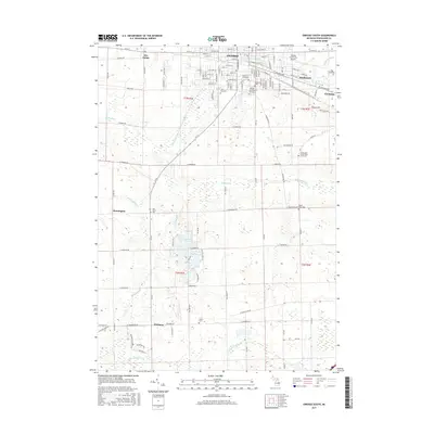
1975 Easton
Shiawassee County, MI
2011 Corunna SE
Shiawassee County, MI
2011 Easton
Shiawassee County, MI
2011 Ovid East
Shiawassee County, MI
2011 Owosso North
Shiawassee County, MI

2011 Owosso South
Shiawassee County, MI
2014 Corunna SE
Shiawassee County, MI
2014 Easton
Shiawassee County, MI
2014 Ovid East
Shiawassee County, MI
2014 Owosso North
Shiawassee County, MI
2014 Owosso South
Shiawassee County, MI
2017 Corunna SE
Shiawassee County, MI
2017 Easton
Shiawassee County, MI
2017 Ovid East
Shiawassee County, MI
2017 Owosso North
Shiawassee County, MI
2017 Owosso South
Shiawassee County, MI

2019 Corunna SE
Shiawassee County, MI

2019 Easton
Shiawassee County, MI
2019 Ovid East
Shiawassee County, MI
2019 Owosso North
Shiawassee County, MI
2019 Owosso South
Shiawassee County, MI
2023 Corunna SE
Shiawassee County, MI
2023 Easton
Shiawassee County, MI
2023 Ovid East
Shiawassee County, MI
2023 Owosso North
Shiawassee County, MI
2023 Owosso South
Shiawassee County, MI
Featured Locations
- Fairfield Township, MI
- Duplain Township, MI
- Ovid Township, MI
- Ovid, Ovid Township
- Hoovers Corners, Fairfield Township