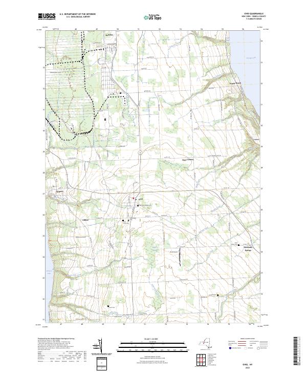
2023 Map of Ovid
USGS Topo · Published 2023About this map
The Finger Lakes region of Seneca County is captured in this detailed mapping of the peninsula between Seneca Lake and Cayuga Lake. The landscape is dominated by the sprawling footprint of the Seneca Army Depot in the northwest, which contrasts with the traditional agricultural and village layouts of the surrounding area. The village of Ovid sits centrally at a high point, serving as a hub for local routes like Center Rd and Ovid Rd.
Find a feature on this map
59 named features on this map. Tap any name to fly to it.
Don’t see what you’re looking for? This feature index may not catch every label — zoom into the map to look around manually.
Map Details
Editions of this 2023 Ovid Map
This is the sole edition of this map. No revisions or reprints were ever made.
Other maps of this area

1899 · Auburn
USGS Topo · 1:62,500

1902 · Geneva
USGS Topo · 1:62,500

1902 · Genoa
USGS Topo · 1:62,500

1902 · Ovid
USGS Topo · 1:62,500

1902 · Auburn
USGS Topo · 1:62,500

1942 · Ovid
USGS Topo · 1:31,680

1942 · Dundee
USGS Topo · 1:24,000

1942 · Lodi
USGS Topo · 1:24,000

1942 · Sheldrake
USGS Topo · 1:24,000

1942 · Trumansburg
USGS Topo · 1:24,000