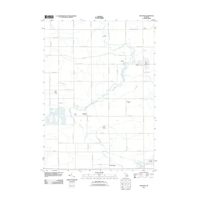
2011 Map of Ovid West
USGS Topo · Published 2011About this map
The Maple River winds through this central Michigan landscape, anchoring several small rural communities and agricultural townships. The village of Elsie serves as a primary hub in the northeast, featuring the Elsie Post Office and several burial grounds, including Riverside Cemetery and Elsie Village Cemetery. Further south along the river's path, the settlements of Duplain and Shepardsville are established alongside a network of grid-patterned roads such as N Saint Clair Rd and N Shepardsville Rd.
Find a feature on this map
56 named features on this map. Tap any name to fly to it.
Don’t see what you’re looking for? This feature index may not catch every label — zoom into the map to look around manually.
Map Details
Editions of this 2011 Ovid West Map
This is the sole edition of this map. No revisions or reprints were ever made.
Other maps of this area

1918 · Elsie
USGS Topo · 1:62,500

1918 · Perrinton
USGS Topo · 1:62,500

1927 · De Witt
USGS Topo · 1:62,500

1928 · Laingsburg
USGS Topo · 1:62,500

1943 · Perrinton
USGS Topo · 1:62,500

1943 · Elsie
USGS Topo · 1:62,500

1944 · Laingsburg
USGS Topo · 1:62,500

1954 · Midland
USGS Topo · 1:250,000

1958 · Midland
USGS Topo · 1:250,000

1958 · Grand Rapids
USGS Topo · 1:250,000