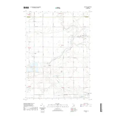
2019 Map of Ovid West
USGS Topo · Published 2019About this map
The Maple River meanders through the heart of Clinton County, defining the agricultural landscape between the villages of Elsie and Ovid. This survey documents a rural environment shaped by complex drainage networks, including the Duplain and Ovid Drain and Shepard Drain, which support the fertile fields of Duplain and surrounding townships. Local aviation history is represented by Tripp Creek Airport and Schiffer Acres Airport, while the southern corridor features the Fred Meijer Clinton-Ionia-Shiawassee (CIS) State Trail, a modern repurposing of the former rail line that once connected these farming communities. Genealogists will find several burial sites noted across the townships, from the Riverside Cem near the riverbanks to the Ford Cem and Duplain Cem. The map provides a clear look at the transition from the village street grids, such as E Main St in Elsie, to the expansive section-line road system that organizes the central Michigan countryside.
Find a feature on this map
79 named features on this map. Tap any name to fly to it.
Don’t see what you’re looking for? This feature index may not catch every label — zoom into the map to look around manually.
Map Details
Editions of this 2019 Ovid West Map
This is the sole edition of this map. No revisions or reprints were ever made.
Other maps of this area

1918 · Elsie
USGS Topo · 1:62,500

1918 · Perrinton
USGS Topo · 1:62,500

1927 · De Witt
USGS Topo · 1:62,500

1928 · Laingsburg
USGS Topo · 1:62,500

1943 · Perrinton
USGS Topo · 1:62,500

1943 · Elsie
USGS Topo · 1:62,500

1944 · Laingsburg
USGS Topo · 1:62,500

1954 · Midland
USGS Topo · 1:250,000

1958 · Midland
USGS Topo · 1:250,000

1958 · Grand Rapids
USGS Topo · 1:250,000