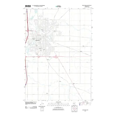
2010 Map of Owatonna
USGS Topo · Published 2010About this map
Owatonna serves as the focal point of this 2010 survey, where the Straight River and Maple Creek converge amidst a well-developed urban and agricultural landscape. The map highlights the town's civic infrastructure, including the Steele County Fairgrounds and the Village of Yesteryear, which preserves the local heritage. To the east and south, the smaller settlements of Havana and Pratt sit along a network of county roads and highways that cross through rolling farmland drained by Turtle Creek and Izaak Walton Creek.
Find a feature on this map
64 named features on this map. Tap any name to fly to it.
Don’t see what you’re looking for? This feature index may not catch every label — zoom into the map to look around manually.
Map Details
Editions of this 2010 Owatonna Map
This is the sole edition of this map. No revisions or reprints were ever made.
Other maps of this area

1953 · Saint Paul
USGS Topo · 1:250,000

1954 · Mason City
USGS Topo · 1:250,000

1957 · Mason City
USGS Topo · 1:250,000

1958 · Mason City
USGS Topo · 1:250,000

1959 · Saint Paul
USGS Topo · 1:250,000

1962 · Medford East
USGS Topo · 1:24,000

1962 · Owatonna
USGS Topo · 1:24,000

1962 · Moland
USGS Topo · 1:24,000

1962 · Owatonna SE
USGS Topo · 1:24,000

1962 · Saco
USGS Topo · 1:24,000