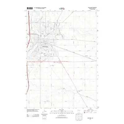
2013 Map of Owatonna
USGS Topo · Published 2013About this map
Owatonna serves as the focal point of this Steele County study, where the Straight River and Maple Cr converge amidst a dense network of civic and educational landmarks. The campus of Pillsbury Baptist Bible Coll and the extensive Steele County Fairgrounds anchor the central district, reflecting the city's role as a regional hub. To the south, the Village of Yesteryear provides a concentrated look at local heritage near the Owatonna Campground.
Find a feature on this map
40 named features on this map. Tap any name to fly to it.
Don’t see what you’re looking for? This feature index may not catch every label — zoom into the map to look around manually.
Map Details
Editions of this 2013 Owatonna Map
This is the sole edition of this map. No revisions or reprints were ever made.
Other maps of this area

1953 · Saint Paul
USGS Topo · 1:250,000

1954 · Mason City
USGS Topo · 1:250,000

1957 · Mason City
USGS Topo · 1:250,000

1958 · Mason City
USGS Topo · 1:250,000

1959 · Saint Paul
USGS Topo · 1:250,000

1962 · Medford East
USGS Topo · 1:24,000

1962 · Owatonna
USGS Topo · 1:24,000

1962 · Moland
USGS Topo · 1:24,000

1962 · Owatonna SE
USGS Topo · 1:24,000

1962 · Saco
USGS Topo · 1:24,000