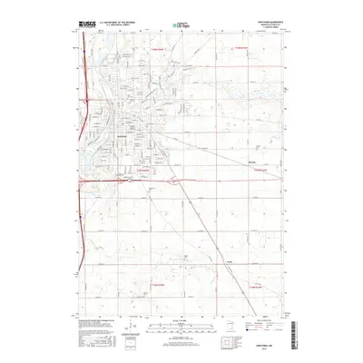
2016 Map of Owatonna
USGS Topo · Published 2016About this map
Owatonna serves as the regional hub of Steele County, situated at the confluence of the Straight River and Isaac Walton Cr. This 2016 survey illustrates the city’s residential expansion north and east, bounded by a network of well-defined county highways and local streets such as Ridge Rd NE and St Paul Rd. Outside the main city limits, the rural character of the Minnesota prairie remains evident in the outlying settlements of Havana and Pratt, where the landscape is etched by the meandering courses of Maple Cr and Turtle Cr.
Find a feature on this map
148 named features on this map. Tap any name to fly to it.
Don’t see what you’re looking for? This feature index may not catch every label — zoom into the map to look around manually.
Map Details
Editions of this 2016 Owatonna Map
This is the sole edition of this map. No revisions or reprints were ever made.
Other maps of this area

1953 · Saint Paul
USGS Topo · 1:250,000

1954 · Mason City
USGS Topo · 1:250,000

1957 · Mason City
USGS Topo · 1:250,000

1958 · Mason City
USGS Topo · 1:250,000

1959 · Saint Paul
USGS Topo · 1:250,000

1962 · Medford East
USGS Topo · 1:24,000

1962 · Owatonna
USGS Topo · 1:24,000

1962 · Moland
USGS Topo · 1:24,000

1962 · Owatonna SE
USGS Topo · 1:24,000

1962 · Saco
USGS Topo · 1:24,000