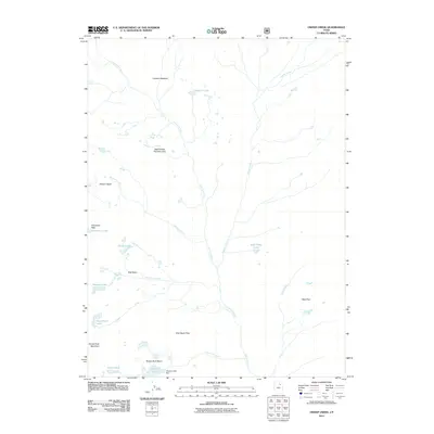
2011 Map of Oweep Creek
USGS Topo · Published 2011About this map
High Uintas Primitive Area defines the high-altitude landscape of this 2011 survey, where the drainages of Lake Fork River and Oweep Creek carve through the glacial basins of northern Utah. This interior portion of Duchesne County is characterized by numerous alpine water bodies, including the clusters of Three Lakes and the isolated Lambert Lake. Human infrastructure is sparse in this protected wilderness, marked primarily by the Clement Lake Dam and the high-elevation crossings at Cleveland Pass and East Basin Pass. The terrain transitions from the open stretches of Lambert Meadow and West Park to the prominent slopes of Brown Duck Mountain. Researchers will find a detailed representation of the hydrological network, including Ottorson Creek, East Basin Creek, and Clements Creek, which link the various basins and lakes that dominate this mountainous region.
Find a feature on this map
24 named features on this map. Tap any name to fly to it.
Don’t see what you’re looking for? This feature index may not catch every label — zoom into the map to look around manually.
Map Details
Editions of this 2011 Oweep Creek Map
This is the sole edition of this map. No revisions or reprints were ever made.
Other maps of this area
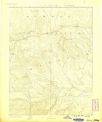
1885 · Uinta
USGS Topo · 1:250,000
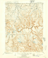
1901 · Hayden Peak
USGS Topo · 1:125,000
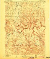
1903 · Hayden Peak
USGS Topo · 1:125,000
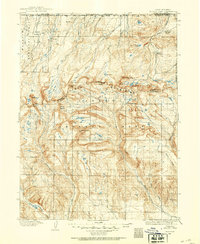
1905 · Gilbert Peak
USGS Topo · 1:125,000
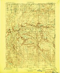
1906 · Gilbert Peak
USGS Topo · 1:125,000
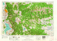
1954 · Salt Lake City
USGS Topo · 1:250,000
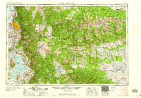
1958 · Salt Lake City
USGS Topo · 1:250,000
1960 · Salt Lake City
USGS Topo · 1:250,000
1967 · Kidney Lake
USGS Topo · 1:24,000
1967 · Explorer Peak
USGS Topo · 1:24,000