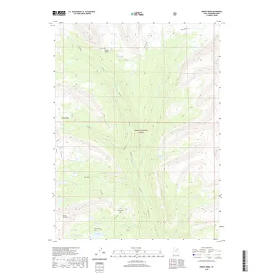
2020 Map of Oweep Creek
USGS Topo · Published 2020About this map
Ashley National Forest encompasses this high-elevation landscape, where glacial activity has carved a series of significant basins and mountain passes. The drainage network is dominated by the south-flowing Lake Fork River, which is fed by numerous tributaries including Oweep Cr and E Basin Cr. High ridges separate distinct alpine environments such as Ottoson Basin and Brown Duck Basin, each containing clusters of small lakes like Cleveland Lake and Three Lakes.
Find a feature on this map
27 named features on this map. Tap any name to fly to it.
Don’t see what you’re looking for? This feature index may not catch every label — zoom into the map to look around manually.
Map Details
Editions of this 2020 Oweep Creek Map
This is the sole edition of this map. No revisions or reprints were ever made.
Other maps of this area
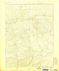
1885 · Uinta
USGS Topo · 1:250,000
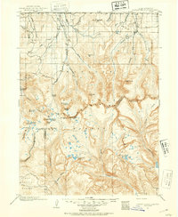
1901 · Hayden Peak
USGS Topo · 1:125,000
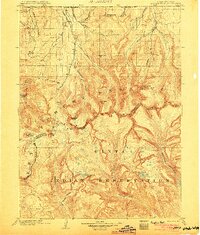
1903 · Hayden Peak
USGS Topo · 1:125,000
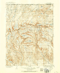
1905 · Gilbert Peak
USGS Topo · 1:125,000
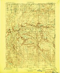
1906 · Gilbert Peak
USGS Topo · 1:125,000
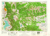
1954 · Salt Lake City
USGS Topo · 1:250,000
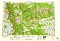
1958 · Salt Lake City
USGS Topo · 1:250,000
1960 · Salt Lake City
USGS Topo · 1:250,000
1967 · Kidney Lake
USGS Topo · 1:24,000
1967 · Explorer Peak
USGS Topo · 1:24,000