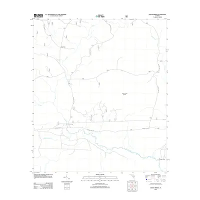
2012 Map of Owens Bridge
USGS Topo · Published 2012About this map
New River meanders across this landscape in Liberty County, defining a region characterized by remote settlements and extensive forestry management. The crossing at Owens Bridge serves as a central point in a network of roads that cut through the flatwoods, including several marked as National Forest Rd. Small, isolated locales like Twin Pole and Morgan Place represent the sparse human footprint in this part of Florida, where the land is largely shaped by the drainage systems of Cat Br and Juniper Cr. The presence of the Juniper Creek Islands suggests a complex wetland environment where water levels dictate the accessible terrain. This survey reflects the modern management of these timberlands and river bottoms, maintaining the nomenclature of older crossings and family landmarks while documenting the current infrastructure within the national forest boundaries.
Find a feature on this map
9 named features on this map. Tap any name to fly to it.
Don’t see what you’re looking for? This feature index may not catch every label — zoom into the map to look around manually.
Map Details
Editions of this 2012 Owens Bridge Map
This is the sole edition of this map. No revisions or reprints were ever made.
Other maps of this area

1944 · Pickett Bay
USGS Topo · 1:31,680

1944 · Queens Bay
USGS Topo · 1:24,000

1945 · Thousand Yard Bay
USGS Topo · 1:31,680

1945 · Smith Creek
USGS Topo · 1:31,680

1945 · Tates Hell Swamp
USGS Topo · 1:31,680

1945 · Pickett Bay
USGS Topo · 1:31,680

1945 · Fort Gadsden
USGS Topo · 1:31,680

1946 · Queens Bay
USGS Topo · 1:31,680

1946 · Sumatra
USGS Topo · 1:31,680

1946 · Owens Bridge
USGS Topo · 1:31,680