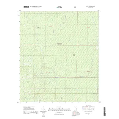
2021 Map of Owens Bridge
USGS Topo · Published 2021About this map
Owens Bridge and Twin Pole are the primary named locales within this portion of the Apalachicola National Forest, where the landscape is defined by a dense network of wetlands and small watercourses. The map documents a complex hydrological system characterized by features such as Mud Swamp, Long Bay, and Juniper Creek Islands. These low-lying areas drain through Cat Br and Juniper Cr toward the New River, which serves as a major geographical boundary in the southern half of the quadrangle.
Find a feature on this map
22 named features on this map. Tap any name to fly to it.
Don’t see what you’re looking for? This feature index may not catch every label — zoom into the map to look around manually.
Map Details
Editions of this 2021 Owens Bridge Map
This is the sole edition of this map. No revisions or reprints were ever made.
Other maps of this area

1944 · Pickett Bay
USGS Topo · 1:31,680

1944 · Queens Bay
USGS Topo · 1:24,000

1945 · Thousand Yard Bay
USGS Topo · 1:31,680

1945 · Smith Creek
USGS Topo · 1:31,680

1945 · Tates Hell Swamp
USGS Topo · 1:31,680

1945 · Pickett Bay
USGS Topo · 1:31,680

1945 · Fort Gadsden
USGS Topo · 1:31,680

1946 · Queens Bay
USGS Topo · 1:31,680

1946 · Sumatra
USGS Topo · 1:31,680

1946 · Owens Bridge
USGS Topo · 1:31,680