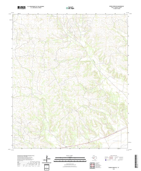
2022 Map of Owens Creek NE
USGS Topo · Published 2022About this map
Bill West Draw snakes through this section of the Edwards Plateau in Crockett County, marking the primary drainage path for the surrounding limestone uplands. The landscape is defined by a complex network of dry washes and deep canyons that characterize this arid region of West Texas. While modern roads, including a significant divided highway in the southern portion, now traverse these ridges, the underlying topography reveals the natural corridors long used for movement across the plains. This 2022 survey by the U.S. Geological Survey provides a precise view of the terrain before the influence of intermittent water flow, where Bill West Draw serves as the dominant named geographical landmark among the myriad unnamed contours.
Find a feature on this map
1 named feature on this map. Tap any name to fly to it.
Don’t see what you’re looking for? This feature index may not catch every label — zoom into the map to look around manually.
Map Details
Editions of this 2022 Owens Creek NE Map
This is the sole edition of this map. No revisions or reprints were ever made.
Other maps of this area

1920 · Big Lake
USGS Topo · 1:62,500

1922 · Big Lake
USGS Topo · 1:62,500

1928 · Rankin
USGS Topo · 1:125,000

1929 · Sheffield
USGS Topo · 1:125,000

1954 · Sonora
USGS Topo · 1:250,000

1954 · San Angelo
USGS Topo · 1:250,000

1958 · Sonora
USGS Topo · 1:250,000

1958 · San Angelo
USGS Topo · 1:250,000

1965 · San Angelo
USGS Topo · 1:250,000

1967 · Owens Creek SE
USGS Topo · 1:24,000