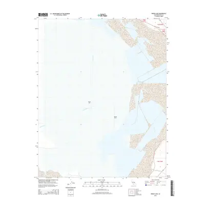
2015 Map of Owens Lake
USGS Topo · Published 2015About this map
Owens Lake dominates this 2015 survey, appearing here as a largely desiccated basin where the Owens River once emptied. The landscape is defined by the stark transition into the Mojave Desert, reflecting a century of water diversion and environmental change in Inyo County. In the southwestern portion of the map, Cottonwood Cr flows toward the lake bed, while the northeastern corner shows a trace of human infrastructure with Olancha Dump Rd. The map provides a detailed view of the modern shoreline and the intricate public land survey system grid, documenting the current state of this historically significant California water body.
Find a feature on this map
9 named features on this map. Tap any name to fly to it.
Don’t see what you’re looking for? This feature index may not catch every label — zoom into the map to look around manually.
Map Details
Editions of this 2015 Owens Lake Map
This is the sole edition of this map. No revisions or reprints were ever made.
Other maps of this area
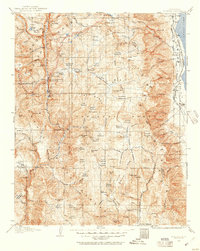
1905 · Olancha
USGS Topo · 1:125,000
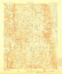
1907 · Olancha
USGS Topo · 1:125,000
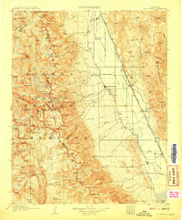
1907 · Mt. Whitney
USGS Topo · 1:125,000

1908 · Ballarat
USGS Topo · 1:250,000

1913 · Ballarat
USGS Topo · 1:250,000
1919 · Mt. Whitney
USGS Topo · 1:125,000
1937 · Mt. Whitney
USGS Topo · 1:125,000

1948 · Death Valley
USGS Topo · 1:250,000
1948 · Fresno
USGS Topo · 1:250,000
1950 · New York Butte
USGS Topo · 1:62,500