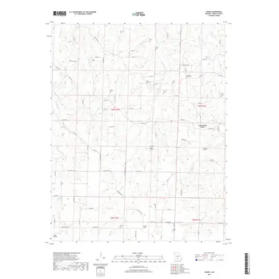
2017 Map of Owens
USGS Topo · Published 2017About this map
The Gasconade River cuts through the northwest corner of this Wright County landscape, anchoring a network of hollows and creeks that define the local geography. Small settlements and community landmarks like Owens and the Crossroads Store are connected by a web of county roads and routes such as State Hwy HH. The map reveals a high density of family and community burial grounds, including the Cox Cem, Frog Knob Cem, and Mount Zion Cem, which provide significant points of interest for genealogical research in the region.
Find a feature on this map
89 named features on this map. Tap any name to fly to it.
Don’t see what you’re looking for? This feature index may not catch every label — zoom into the map to look around manually.
Map Details
Editions of this 2017 Owens Map
This is the sole edition of this map. No revisions or reprints were ever made.
Other maps of this area
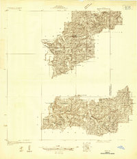
1931 · Manes
USGS Topo · 1:48,000
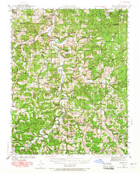
1941 · Manes
USGS Topo · 1:62,500
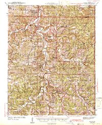
1943 · Manes
USGS Topo · 1:62,500
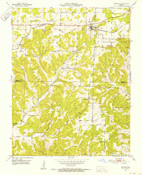
1951 · Norwood
USGS Topo · 1:24,000
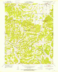
1951 · Mountain Grove South
USGS Topo · 1:24,000
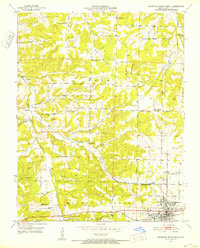
1951 · Mountain Grove North
USGS Topo · 1:24,000
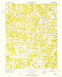
1951 · Owens
USGS Topo · 1:24,000
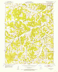
1951 · Mansfield NE
USGS Topo · 1:24,000
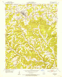
1951 · Mansfield
USGS Topo · 1:24,000
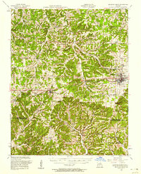
1951 · Mountain Grove
USGS Topo · 1:62,500