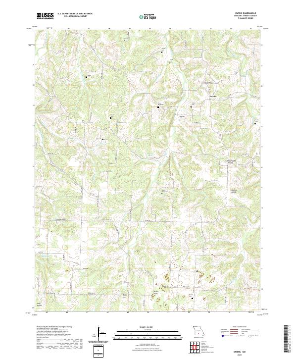
2021 Map of Owens
USGS Topo · Published 2021About this map
Owens and the Crossroads Store anchor this landscape in Wright County, where the terrain is defined by the winding course of the Gasconade River and numerous karst features. The area is characterized by an exceptional concentration of family and community burial grounds, such as Cox Cem, Spillman Cem, and Mount Zion Cem, which provide a detailed genealogical record of the region's rural residents.
Find a feature on this map
86 named features on this map. Tap any name to fly to it.
Don’t see what you’re looking for? This feature index may not catch every label — zoom into the map to look around manually.
Map Details
Editions of this 2021 Owens Map
This is the sole edition of this map. No revisions or reprints were ever made.
Other maps of this area

1931 · Manes
USGS Topo · 1:48,000

1941 · Manes
USGS Topo · 1:62,500

1943 · Manes
USGS Topo · 1:62,500

1951 · Norwood
USGS Topo · 1:24,000

1951 · Mountain Grove South
USGS Topo · 1:24,000

1951 · Mountain Grove North
USGS Topo · 1:24,000

1951 · Owens
USGS Topo · 1:24,000

1951 · Mansfield NE
USGS Topo · 1:24,000
1951 · Mansfield
USGS Topo · 1:24,000

1951 · Mountain Grove
USGS Topo · 1:62,500