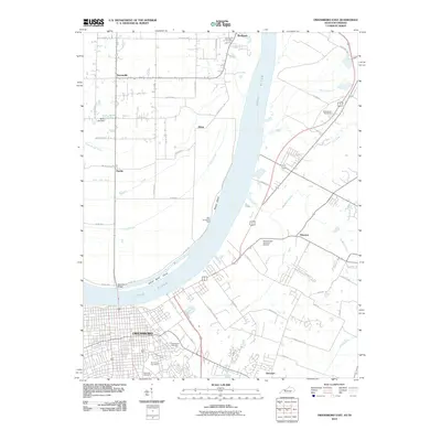
2010 Map of Owensboro East
USGS Topo · Published 2010About this map
The Ohio River dominates this landscape, serving as the border between Indiana and Kentucky as it flows past the growing urban center of Owensboro. The river's historical importance is evident in the presence of the Ellis-Smeathers Ferry and Yellow Bank Island, alongside modern infrastructure like the Owensboro Bridge. On the Indiana side, the small settlements of Patronville, Africa, and Pueblo are scattered across a floodplain crisscrossed by drainage features such as the Forked Pond Ditch and Isaac Wright Drain.
Find a feature on this map
42 named features on this map. Tap any name to fly to it.
Don’t see what you’re looking for? This feature index may not catch every label — zoom into the map to look around manually.
Map Details
Editions of this 2010 Owensboro East Map
This is the sole edition of this map. No revisions or reprints were ever made.
Other maps of this area

1901 · Owensboro
USGS Topo · 1:62,500

1903 · Tell City
USGS Topo · 1:62,500

1906 · Sutherland
USGS Topo · 1:62,500

1907 · Whitesville
USGS Topo · 1:62,500

1909 · Whitesville
USGS Topo · 1:62,500

1952 · Owensboro East
USGS Topo · 1:24,000

1952 · Rockport
USGS Topo · 1:24,000

1952 · Owensboro West
USGS Topo · 1:24,000

1953 · Philpot
USGS Topo · 1:24,000

1953 · Sutherland
USGS Topo · 1:24,000