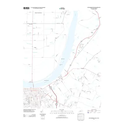
2013 Map of Owensboro East
USGS Topo · Published 2013About this map
The Ohio River carves a deep bend through this region, separating the agricultural plains of Indiana from the expanding outskirts of Kentucky. On the northern shore, the Spencer County Farm and small clusters like Patronville and Africa define a landscape structured by an extensive grid of county roads and drainage systems like Isaac Wright Drain and Forked Pond Ditch. These managed waterways suggest a long history of reclaiming the low-lying bottomlands for cultivation near Beeler Island.
Find a feature on this map
163 named features on this map. Tap any name to fly to it.
Don’t see what you’re looking for? This feature index may not catch every label — zoom into the map to look around manually.
Map Details
Editions of this 2013 Owensboro East Map
This is the sole edition of this map. No revisions or reprints were ever made.
Other maps of this area

1901 · Owensboro
USGS Topo · 1:62,500

1903 · Tell City
USGS Topo · 1:62,500

1906 · Sutherland
USGS Topo · 1:62,500

1907 · Whitesville
USGS Topo · 1:62,500

1909 · Whitesville
USGS Topo · 1:62,500

1952 · Owensboro East
USGS Topo · 1:24,000

1952 · Rockport
USGS Topo · 1:24,000

1952 · Owensboro West
USGS Topo · 1:24,000

1953 · Philpot
USGS Topo · 1:24,000

1953 · Sutherland
USGS Topo · 1:24,000