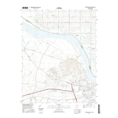
2016 Map of Owensboro West
USGS Topo · Published 2016About this map
The Ohio River serves as the dominant geographical boundary here, separating Spencer and Daviess counties along the border of Indiana and Kentucky. The landscape is defined by the hydrologic complexity of the river valley, featuring numerous secondary waterways and drainage systems such as Crane Pond Slough, Katie Meadow Slough, and Gilles Ditch. These features point to the historical management of the wetlands and floodplains that characterize the area around French Island.
Find a feature on this map
117 named features on this map. Tap any name to fly to it.
Don’t see what you’re looking for? This feature index may not catch every label — zoom into the map to look around manually.
Map Details
Editions of this 2016 Owensboro West Map
This is the sole edition of this map. No revisions or reprints were ever made.
Other maps of this area

1901 · Owensboro
USGS Topo · 1:62,500

1905 · Newburg
USGS Topo · 1:62,500

1906 · Sutherland
USGS Topo · 1:62,500

1908 · Calhoun
USGS Topo · 1:62,500

1951 · Yankeetown
USGS Topo · 1:24,000

1952 · Owensboro East
USGS Topo · 1:24,000

1952 · Rockport
USGS Topo · 1:24,000

1952 · Owensboro West
USGS Topo · 1:24,000

1952 · Reed
USGS Topo · 1:24,000

1953 · Sutherland
USGS Topo · 1:24,000