
1952 Map of Reed
USGS Topo · Published 1953About this map
Green River meanders sharply through the heart of this mid-century landscape, defining the winding boundary between Henderson and Daviess Counties. The terrain is shaped by a complex network of drainage ditches and sloughs, such as Richland Slough and Hurricane Slough, which support the agricultural lowlands. Along the northern edge, the Ohio River flows past French Island No 2, while the Louisville and Nashville railroad cuts a straight path through the floodplain to serve the community of Reed. This area was an active extraction zone in the early 1950s, evidenced by the numerous oil wells dotting the landscape around Birk City and Newman. Local heritage is anchored by rural institutions including Mt Zion Ch, Little Flock Ch, and St Peters Cem, providing specific landmarks for genealogical research in this river-bottom territory.
Find a feature on this map
35 named features on this map. Tap any name to fly to it.
Don’t see what you’re looking for? This feature index may not catch every label — zoom into the map to look around manually.
Map Details
Editions of this 1952 Reed Map
This is the sole edition of this map. No revisions or reprints were ever made.
Other maps of this area

1901 · Owensboro
USGS Topo · 1:62,500

1905 · Newburg
USGS Topo · 1:62,500

1906 · Sutherland
USGS Topo · 1:62,500

1908 · Calhoun
USGS Topo · 1:62,500

1951 · Yankeetown
USGS Topo · 1:24,000

1951 · Spottsville
USGS Topo · 1:24,000

1952 · Owensboro West
USGS Topo · 1:24,000

1952 · Newburgh
USGS Topo · 1:24,000
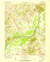
1953 · Delaware
USGS Topo · 1:24,000
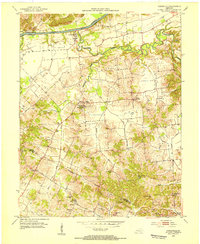
1953 · Curdsville
USGS Topo · 1:24,000