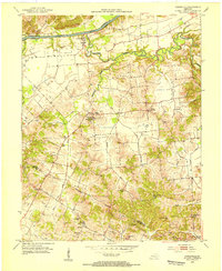
1953 Map of Curdsville
USGS Topo · Published 1954About this map
The Green River forms the northern boundary of this mid-century landscape, where the confluence with Panther Creek marks the riverfront settlement of Curdsville. This agricultural and industrial region in Daviess Co is characterized by a dense network of country roads connecting scattered settlements like Saint Joseph and West Louisville. Significant cultural landmarks include the Mt St Joseph Academy, which served as a focal point for the community near the center of the sheet. To the south, the terrain becomes increasingly dotted with Oil Wells, particularly near Wyman and Wyman Lake. The map serves as a detailed record of rural genealogy, capturing numerous local houses of worship such as Beulah Ch and New Salem Ch, along with family-named resting places like McCain Cem and Travis Cem.
Find a feature on this map
32 named features on this map. Tap any name to fly to it.
Don’t see what you’re looking for? This feature index may not catch every label — zoom into the map to look around manually.
Map Details
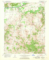
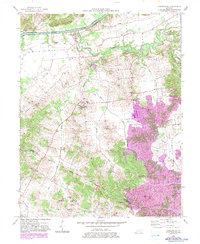
Editions of this 1953 Curdsville Map
3 editions found
Other maps of this area

1901 · Owensboro
USGS Topo · 1:62,500

1905 · Newburg
USGS Topo · 1:62,500

1906 · Sutherland
USGS Topo · 1:62,500

1908 · Calhoun
USGS Topo · 1:62,500

1951 · Spottsville
USGS Topo · 1:24,000

1952 · Owensboro West
USGS Topo · 1:24,000

1952 · Reed
USGS Topo · 1:24,000

1952 · Calhoun
USGS Topo · 1:24,000

1952 · Beech Grove
USGS Topo · 1:24,000
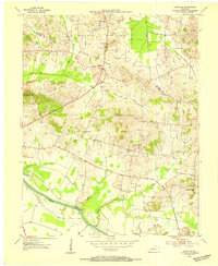
1953 · Glenville
USGS Topo · 1:24,000