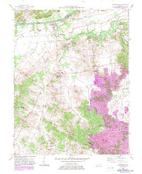
1953 Map of Curdsville
USGS Topo · Published 1983About this map
Green River forms the northern boundary of this Western Kentucky landscape, where the flat river bottomlands give way to a network of winding tributaries. The area is defined by the convergence of Panther Creek and Knoblick Creek, with small rural settlements like Curdsville and Saint Joseph serving as local anchors. A prominent landmark is the Mt St Joseph Academy (Maple Mount PO), which stands central to the community's history.
Find a feature on this map
39 named features on this map. Tap any name to fly to it.
Don’t see what you’re looking for? This feature index may not catch every label — zoom into the map to look around manually.
Map Details
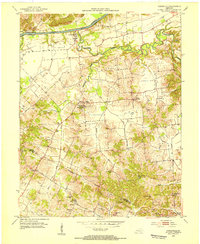
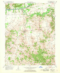
Editions of this 1953 Curdsville Map
3 editions found
Other maps of this area

1901 · Owensboro
USGS Topo · 1:62,500

1905 · Newburg
USGS Topo · 1:62,500

1906 · Sutherland
USGS Topo · 1:62,500

1908 · Calhoun
USGS Topo · 1:62,500

1951 · Spottsville
USGS Topo · 1:24,000

1952 · Owensboro West
USGS Topo · 1:24,000

1952 · Reed
USGS Topo · 1:24,000

1952 · Calhoun
USGS Topo · 1:24,000

1952 · Beech Grove
USGS Topo · 1:24,000
1953 · Glenville
USGS Topo · 1:24,000