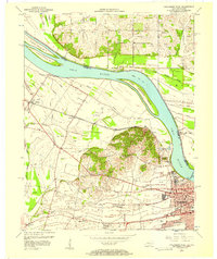
1956 Map of Owensboro West
USGS Topo · Published 1957About this map
Owensboro dominates the southeastern riverbank in the mid-1950s, serving as a hub for both the Ohio River trade and the Louisville and Nashville railroad. The landscape is defined by the prominent Bon Harbor Hills, which rise above a network of sloughs and ditches such as Crane Pond Slough and Fulkerson Ditch. This drainage system illustrates the historic management of the flood-prone bottomlands surrounding Little Hurricane Island and French Island No 1.
Find a feature on this map
38 named features on this map. Tap any name to fly to it.
Don’t see what you’re looking for? This feature index may not catch every label — zoom into the map to look around manually.
Map Details
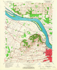
Editions of this 1956 Owensboro West Map
2 editions found
Other maps of this area

1901 · Owensboro
USGS Topo · 1:62,500

1905 · Newburg
USGS Topo · 1:62,500

1906 · Sutherland
USGS Topo · 1:62,500

1908 · Calhoun
USGS Topo · 1:62,500

1951 · Yankeetown
USGS Topo · 1:24,000

1952 · Owensboro East
USGS Topo · 1:24,000

1952 · Rockport
USGS Topo · 1:24,000

1952 · Owensboro West
USGS Topo · 1:24,000

1952 · Reed
USGS Topo · 1:24,000

1953 · Sutherland
USGS Topo · 1:24,000