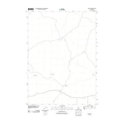
2010 Map of Owinza
USGS Topo · Published 2010About this map
Owinza sits at a crossroads of rural infrastructure and water management in Lincoln County, Idaho. The settlement is defined by its proximity to several irrigation and stock water features, including Monument Reservoir, East Monument Reservoir, and Banner Reservoir, which underscore the region's agricultural dependency. The presence of Shirley G Spring and the intermittently filled Rock Lake suggests a landscape where water is a prized resource. The local transit network is anchored by Owinza Rd and Stoker Rd, reflecting a grid-based development pattern common in the Idaho desert. This 2010 survey documents the persisting identity of small rural outposts and the naming of local landmarks like Shirley G Spring, which likely hold significance for area families and livestock operations.
Find a feature on this map
9 named features on this map. Tap any name to fly to it.
Don’t see what you’re looking for? This feature index may not catch every label — zoom into the map to look around manually.
Map Details
Editions of this 2010 Owinza Map
This is the sole edition of this map. No revisions or reprints were ever made.
Other maps of this area

1954 · Pocatello
USGS Topo · 1:250,000

1955 · Idaho Falls
USGS Topo · 1:250,000

1955 · Twin Falls
USGS Topo · 1:250,000

1955 · Hailey
USGS Topo · 1:250,000

1958 · Twin Falls
USGS Topo · 1:250,000

1958 · Idaho Falls
USGS Topo · 1:250,000

1958 · Pocatello
USGS Topo · 1:250,000

1959 · Hailey
USGS Topo · 1:250,000

1962 · Hailey
USGS Topo · 1:250,000

1971 · Star Lake
USGS Topo · 1:24,000