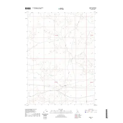
2020 Map of Owinza
USGS Topo · Published 2020About this map
Owinza sits along the rail line in this high desert landscape of Lincoln County, where the infrastructure of water management dictates the pattern of human presence. The terrain is defined by a series of catchment features including Monument Reservoir, East Monument Reservoir, and Banner Reservoir, which underscore the region's reliance on irrigation and seasonal water storage. Small natural features like Rock Lake and the Shirley G Spring provide the few permanent water sources in an area otherwise dominated by the grid of the Public Land Survey System. Transportation is centered around the corridor of Hwy 24 and Owinza Rd, which connect these isolated water points and the small settlement of Owinza to the broader Snake River Plain region. The map preserves a clear view of how ranching and water rights have shaped the modern Idaho interior.
Find a feature on this map
15 named features on this map. Tap any name to fly to it.
Don’t see what you’re looking for? This feature index may not catch every label — zoom into the map to look around manually.
Map Details
Editions of this 2020 Owinza Map
This is the sole edition of this map. No revisions or reprints were ever made.
Other maps of this area

1954 · Pocatello
USGS Topo · 1:250,000

1955 · Idaho Falls
USGS Topo · 1:250,000

1955 · Twin Falls
USGS Topo · 1:250,000

1955 · Hailey
USGS Topo · 1:250,000

1958 · Twin Falls
USGS Topo · 1:250,000

1958 · Idaho Falls
USGS Topo · 1:250,000

1958 · Pocatello
USGS Topo · 1:250,000

1959 · Hailey
USGS Topo · 1:250,000

1962 · Hailey
USGS Topo · 1:250,000

1971 · Star Lake
USGS Topo · 1:24,000