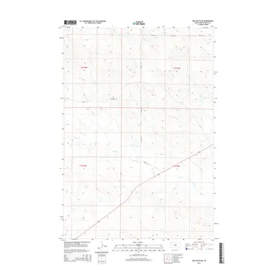
2015 Map of Owl Butte NE
USGS Topo · Published 2015About this map
Sulphur Cr and its various tributaries define the drainage patterns of this Butte County landscape, where the prairie topography is meticulously detailed. This 2015 survey by the U.S. Geological Survey illustrates a sparsely populated section of South Dakota dominated by vast ranchlands and section-line roads. The transportation network is limited to unpaved local connectors like Gruwell Rd and Twilight Rd, which navigate the subtle elevations of the high plains. Water sources remain the primary landmarks in this environment, with Trail Cr and Doody Cr providing the few geographic breaks in the open terrain. The map serves as a precise record of land divisions, highlighting the enduring structure of the Public Land Survey System with clearly marked township and range boundaries such as t12n r8e.
Find a feature on this map
10 named features on this map. Tap any name to fly to it.
Don’t see what you’re looking for? This feature index may not catch every label — zoom into the map to look around manually.
Map Details
Editions of this 2015 Owl Butte NE Map
This is the sole edition of this map. No revisions or reprints were ever made.
Other maps of this area
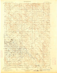
1913 · Newell
USGS Topo · 1:125,000
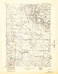
1935 · Hoover
USGS Topo · 1:125,000

1953 · Rapid City
USGS Topo · 1:250,000

1954 · Lemmon
USGS Topo · 1:250,000

1957 · Lemmon
USGS Topo · 1:250,000

1957 · Rapid City
USGS Topo · 1:250,000
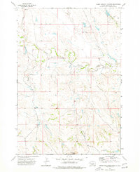
1973 · Deers Ears Butte North
USGS Topo · 1:24,000
1973 · Owl Butte
USGS Topo · 1:24,000
1977 · Deers Ears Butte South
USGS Topo · 1:24,000
1977 · Table Top Butte
USGS Topo · 1:24,000