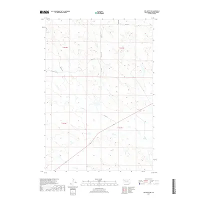
2017 Map of Owl Butte NE
USGS Topo · Published 2017About this map
Sulphur Cr winds across the southern reaches of this Butte County landscape, illustrating the drainage patterns of the high plains in the late 2010s. This specific region of South Dakota is defined by its vast sections of the Public Land Survey System, including portions of t12n r8e and t12n r9e, where cattle ranching and rural land use dictate the sparse network of gravel and dirt tracks. Local travel is facilitated by long-established routes such as Twilight Rd and its predecessor, Old Twilight Rd, which track alongside northern watercourses like Trail Cr. The presence of labels like Mud Butte Rd and Gruwell Rd offers researchers a look at the modern rural infrastructure, while the smaller Doody Cr provides further detail of the local topography.
Find a feature on this map
14 named features on this map. Tap any name to fly to it.
Don’t see what you’re looking for? This feature index may not catch every label — zoom into the map to look around manually.
Map Details
Editions of this 2017 Owl Butte NE Map
This is the sole edition of this map. No revisions or reprints were ever made.
Other maps of this area
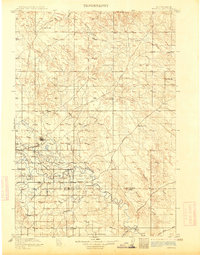
1913 · Newell
USGS Topo · 1:125,000
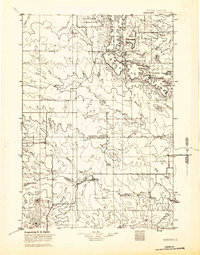
1935 · Hoover
USGS Topo · 1:125,000

1953 · Rapid City
USGS Topo · 1:250,000

1954 · Lemmon
USGS Topo · 1:250,000

1957 · Lemmon
USGS Topo · 1:250,000

1957 · Rapid City
USGS Topo · 1:250,000
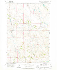
1973 · Deers Ears Butte North
USGS Topo · 1:24,000
1973 · Owl Butte
USGS Topo · 1:24,000
1977 · Deers Ears Butte South
USGS Topo · 1:24,000
1977 · Table Top Butte
USGS Topo · 1:24,000