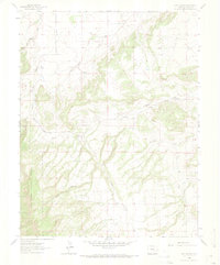
1963 Map of Owl Canyon
USGS Topo · Published 1973About this map
San Isabel National Forest encompasses the southwestern portion of this landscape, characterized by deep ravines and the namesake Owl Canyon. The drainage patterns here are complex, with waters flowing through North Red Creek, South Red Creek, and Peck Creek, all trending toward the east. This 1963 field check reveals a terrain primarily defined by these watercourses and limited human infrastructure, centered on the small settlement of Bronquist and the transit route of Siloam Road.
Find a feature on this map
12 named features on this map. Tap any name to fly to it.
Don’t see what you’re looking for? This feature index may not catch every label — zoom into the map to look around manually.
Map Details
Editions of this 1963 Owl Canyon Map
2 editions found
Other maps of this area

1889 · Canon City
USGS Topo · 1:125,000

1891 · Pueblo
USGS Topo · 1:125,000

1892 · Canon City
USGS Topo · 1:125,000

1894 · Pueblo
USGS Topo · 1:125,000

1896 · Pueblo
USGS Topo · 1:125,000

1897 · Pueblo
USGS Topo · 1:125,000

1954 · Pueblo
USGS Topo · 1:250,000

1957 · Pueblo
USGS Topo · 1:250,000

1958 · Pueblo
USGS Topo · 1:250,000
1959 · Florence SE
USGS Topo · 1:24,000