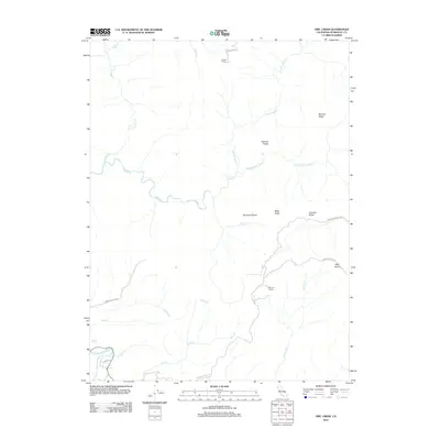
2012 Map of Owl Creek
USGS Topo · Published 2012About this map
Shaws Ranch and the enclave of Redwood House anchor this topographic view of the interior highlands above the Van Duzen River. This is a landscape of high ridges and isolated clearings, where names like McCord Prairie and Bootjack Prairie suggest a history of grazing or forestry amidst the complex drainage basins of Yager Cr and its northern and middle forks.
Find a feature on this map
24 named features on this map. Tap any name to fly to it.
Don’t see what you’re looking for? This feature index may not catch every label — zoom into the map to look around manually.
Map Details
Editions of this 2012 Owl Creek Map
This is the sole edition of this map. No revisions or reprints were ever made.
Other maps of this area

1919 · Glynn
USGS Topo · 1:62,500

1921 · Dyerville
USGS Topo · 1:62,500

1922 · Kneeland
USGS Topo · 1:62,500

1944 · Fortuna
USGS Topo · 1:62,500

1949 · Eureka
USGS Topo · 1:250,000

1949 · Weott
USGS Topo · 1:62,500

1950 · Iaqua Buttes
USGS Topo · 1:62,500

1950 · Scotia
USGS Topo · 1:62,500

1951 · Scotia
USGS Topo · 1:62,500

1951 · Weott
USGS Topo · 1:62,500