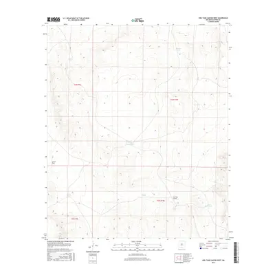
2017 Map of Owl Tank Canyon West
USGS Topo · Published 2017About this map
Owl Tank Canyon and Castner Draw define the topography of this arid stretch of Otero County. The landscape is characterized by a network of water catchment systems essential for ranching and survival in the high desert, evidenced by the numerous named tanks distributed across the township and range lines. To the south, Foster Ranch Tanks and Childs Tank indicate localized land use and historical grazing patterns near the canyon's edge. Other critical water points include Tinney Tank in the northwest and Campbell Tank near the center of the sheet. This 2017 survey by the U.S. Geological Survey details the elevation and drainage patterns of the Chihuahuan Desert before reaching the Sacramento Mountains, preserving the locations of these vital man-made and natural water features used by generations of local ranchers.
Find a feature on this map
15 named features on this map. Tap any name to fly to it.
Don’t see what you’re looking for? This feature index may not catch every label — zoom into the map to look around manually.
Map Details
Editions of this 2017 Owl Tank Canyon West Map
This is the sole edition of this map. No revisions or reprints were ever made.
Other maps of this area
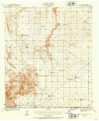
1940 · Bassett Lake
USGS Topo · 1:62,500
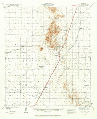
1940 · Orogrande
USGS Topo · 1:62,500
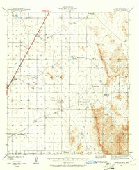
1941 · Desert
USGS Topo · 1:62,500
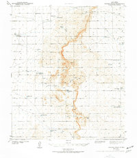
1943 · Pendejo Wash
USGS Topo · 1:62,500
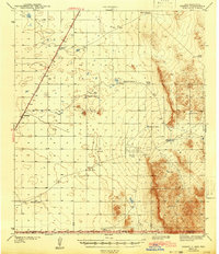
1943 · Desert
USGS Topo · 1:62,500
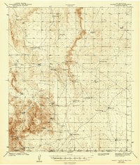
1943 · Bassett Lake
USGS Topo · 1:62,500
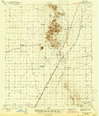
1943 · Orogrande
USGS Topo · 1:62,500
1947 · Desert NE
USGS Topo · 1:24,000
1948 · Orogrande South
USGS Topo · 1:24,000
1948 · Desert SE
USGS Topo · 1:24,000