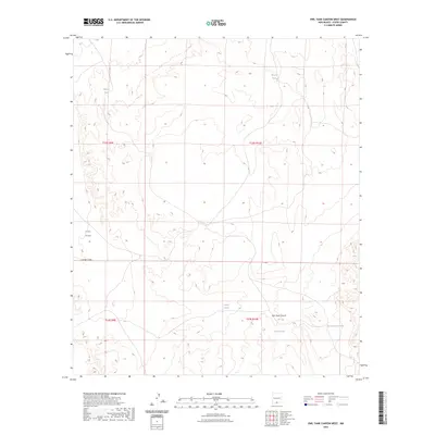
2023 Map of Owl Tank Canyon West
USGS Topo · Published 2023About this map
Fort Bliss land dominates the western landscape of this Otero County quadrangle, where the arid environment is defined by its water management systems. A series of strategic livestock or wildlife watering points are scattered throughout the terrain, including Tinney Tank, Broyle Tank, and Castner Tanks. These features, alongside the Foster Ranch Tanks, highlight the enduring importance of ranching infrastructure in the New Mexico desert. The landscape is carved by natural drainage features like Castrier Draw and the more significant Owl Tank Canyon in the southeast. This 2023 survey provides a clear look at the Public Land Survey System grid, including boundaries for t24s r9e and t24s r10e, illustrating how the land has been sectioned and managed in relation to the federal reservation.
Find a feature on this map
13 named features on this map. Tap any name to fly to it.
Don’t see what you’re looking for? This feature index may not catch every label — zoom into the map to look around manually.
Map Details
Editions of this 2023 Owl Tank Canyon West Map
This is the sole edition of this map. No revisions or reprints were ever made.
Other maps of this area

1940 · Bassett Lake
USGS Topo · 1:62,500

1940 · Orogrande
USGS Topo · 1:62,500

1941 · Desert
USGS Topo · 1:62,500

1943 · Pendejo Wash
USGS Topo · 1:62,500

1943 · Desert
USGS Topo · 1:62,500

1943 · Bassett Lake
USGS Topo · 1:62,500

1943 · Orogrande
USGS Topo · 1:62,500

1947 · Desert NE
USGS Topo · 1:24,000
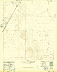
1948 · Orogrande South
USGS Topo · 1:24,000
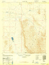
1948 · Desert SE
USGS Topo · 1:24,000