2023 Map of Owosso North
USGS Topo · Published 2023About this map
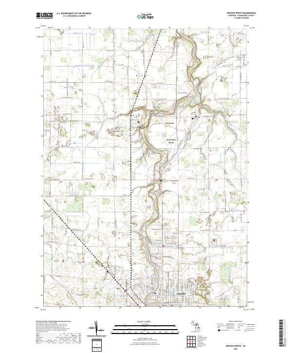
The Shiawassee River defines the central geography of this section of Shiawassee County, winding northward through the settlements of Five Points North and Henderson. For family historians, the map is remarkably dense with burial sites, showing five distinct locations including Mount Hope Cem, West Haven Cem, and the Old West Haven Cem situated near the banks of Sixmile Creek. The upper reaches of the river are fed by an intricate network of local drainage systems such as the North State Drain and West Branch Sawyer Drain. In the northern section, the Wightman Airport sits near the crossing of E Henderson Rd, while the southern edge transition into the residential outskirts of Owosso. The agricultural grid is punctuated by historic clusters like Henderson Cem and Old Henderson Cem, providing clear reference points for tracing mid-Michigan land heritage and rural development.
Find a feature on this map
104 named features on this map. Tap any name to fly to it.
Don’t see what you’re looking for? This feature index may not catch every label — zoom into the map to look around manually.
Map Details
Editions of this 2023 Owosso North Map
This is the sole edition of this map. No revisions or reprints were ever made.
Historical Maps of Owosso Through Time
10 maps found
1972 Corunna SE
Shiawassee County, MI
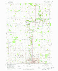
1972 Owosso South
Shiawassee County, MI
1974 Ovid East
Shiawassee County, MI
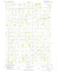
1974 Owosso North
Shiawassee County, MI
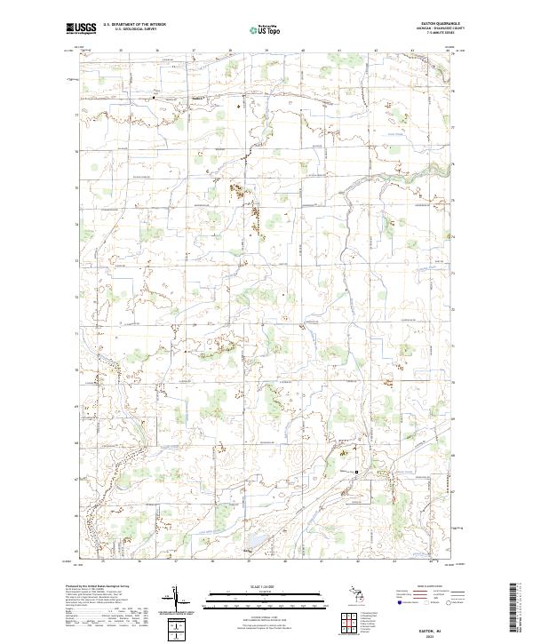
1975 Easton
Shiawassee County, MI
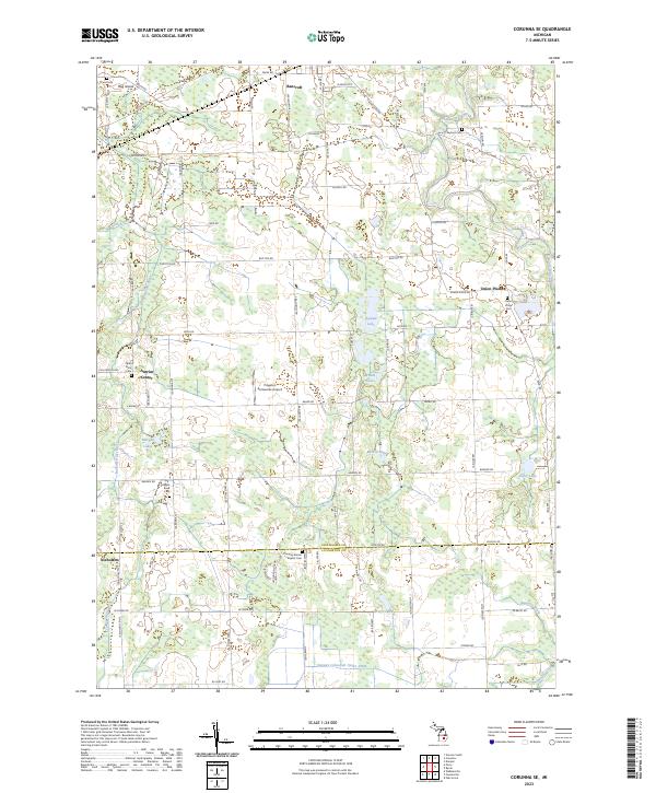
2023 Corunna SE
Shiawassee County, MI
2023 Easton
Shiawassee County, MI
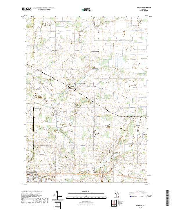
2023 Ovid East
Shiawassee County, MI
2023 Owosso North
Shiawassee County, MI
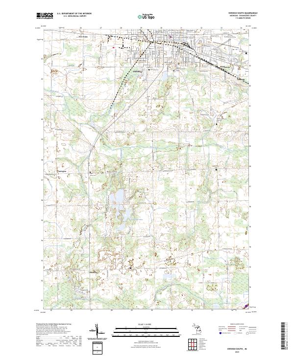
2023 Owosso South
Shiawassee County, MI
Featured Locations
- New Haven Township, MI
- Owosso, MI
- Owosso Charter Township, MI
- Caledonia Charter Township, MI
- New Haven, New Haven Township