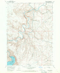
1967 Map of Owyhee Dam
USGS Topo · Published 1971About this map
Owyhee Dam anchors this landscape, controlling the waters of the Owyhee River and forming the northern reaches of Lake Owyhee. The complex irrigation infrastructure required to manage this arid terrain is clearly visible through a series of engineering features, including the Owyhee Ditch, several elevated aqueducts, and underground passages like Tunnel No 1 and Tunnel No 5. These structures emphasize the mid-century transition of Malheur County into a managed agricultural corridor.
Find a feature on this map
37 named features on this map. Tap any name to fly to it.
Don’t see what you’re looking for? This feature index may not catch every label — zoom into the map to look around manually.
Map Details
Editions of this 1967 Owyhee Dam Map
This is the sole edition of this map. No revisions or reprints were ever made.
Other maps of this area

1906 · Mitchell Butte
USGS Topo · 1:125,000

1955 · Boise
USGS Topo · 1:250,000

1958 · Boise
USGS Topo · 1:250,000

1962 · Boise
USGS Topo · 1:250,000
1967 · Graveyard Point
USGS Topo · 1:24,000
1967 · The Elbow
USGS Topo · 1:24,000
1967 · Double Mtn
USGS Topo · 1:24,000
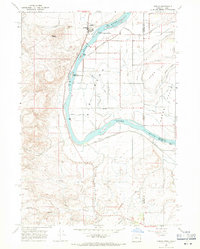
1967 · Adrian
USGS Topo · 1:24,000
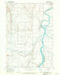
1967 · Owyhee
USGS Topo · 1:24,000
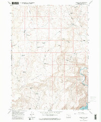
1967 · Grassy Mtn
USGS Topo · 1:24,000