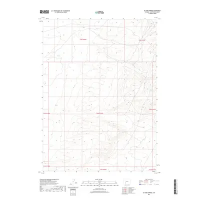
2017 Map of Ox Yoke Springs
USGS Topo · Published 2017About this map
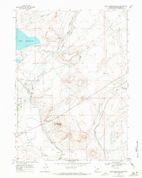
Ox Yoke Springs provides a vital water point in this high-elevation corner of Sweetwater County, where the terrain is defined by complex drainage patterns and rising contours. This 2017 survey by the U.S. Geological Survey details an arid landscape where natural springs are the primary landmarks. Further to the east, Indian Spring marks another significant hydrological feature within the sectioned township and range system. The map reflects the enduring isolation of this part of Wyoming, showing a network of tracks and limited improvements that suggest a landscape primarily used for ranching or resource management rather than dense settlement.
Find a feature on this map
10 named features on this map. Tap any name to fly to it.
Don’t see what you’re looking for? This feature index may not catch every label — zoom into the map to look around manually.
Map Details
Editions of this 2017 Ox Yoke Springs Map
This is the sole edition of this map. No revisions or reprints were ever made.
Other maps of this area

1954 · Rock Springs
USGS Topo · 1:250,000

1955 · Lander
USGS Topo · 1:250,000

1958 · Lander
USGS Topo · 1:250,000

1958 · Rock Springs
USGS Topo · 1:250,000
1958 · Essex Mountain
USGS Topo · 1:62,500
1958 · Boars Tusk
USGS Topo · 1:62,500
1958 · Tule Butte
USGS Topo · 1:24,000

1961 · Lander
USGS Topo · 1:250,000

1962 · Rock Springs
USGS Topo · 1:250,000
1968 · Eden Reservoir East
USGS Topo · 1:24,000