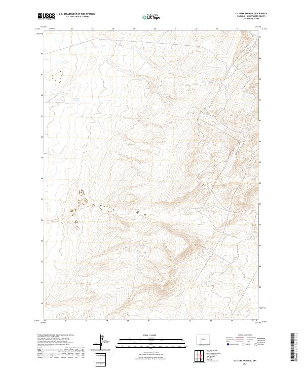
2021 Map of Ox Yoke Springs
USGS Topo · Published 2021About this map
Ox Yoke Springs and Indian Spring are the defining landmarks in this high-desert reach of Sweetwater County. The landscape is dominated by the complex topography of the t24n r104w and t25n r104w townships, where steep-sided drainages and ridgelines converge. This area represents a characteristic portion of the Wyoming basins, where scattered water sources were essential to historical transit and livestock ranging. The grid system clearly delineates the vast, open tracts of land, with little evidence of permanent human settlement or modern development, preserving the remote character of the territory as it was mapped by the U.S. Geological Survey in the early twenty-first century.
Find a feature on this map
10 named features on this map. Tap any name to fly to it.
Don’t see what you’re looking for? This feature index may not catch every label — zoom into the map to look around manually.
Map Details
Editions of this 2021 Ox Yoke Springs Map
This is the sole edition of this map. No revisions or reprints were ever made.
Other maps of this area

1954 · Rock Springs
USGS Topo · 1:250,000

1955 · Lander
USGS Topo · 1:250,000

1958 · Lander
USGS Topo · 1:250,000

1958 · Rock Springs
USGS Topo · 1:250,000

1958 · Essex Mountain
USGS Topo · 1:62,500

1958 · Boars Tusk
USGS Topo · 1:62,500

1958 · Tule Butte
USGS Topo · 1:24,000

1961 · Lander
USGS Topo · 1:250,000

1962 · Rock Springs
USGS Topo · 1:250,000

1968 · Eden Reservoir East
USGS Topo · 1:24,000